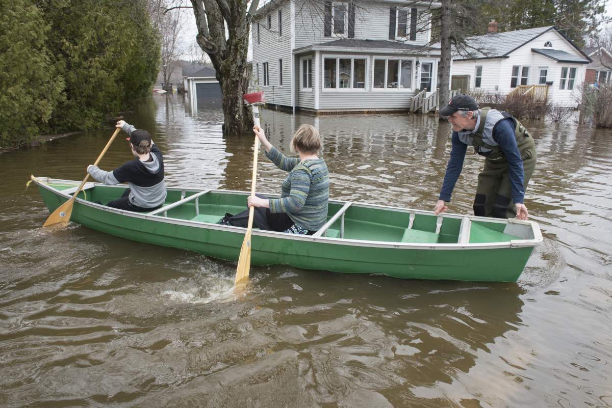
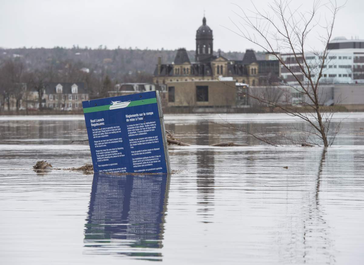
Flooding has forced several communities in Ontario, Quebec and New Brunswick to declare states of emergency, evacuate residents and request the assistance of the federal government.

Here’s what’s happening in each of the affected provinces:
Ontario
Ottawa
In Ottawa, those affected by the floods were given a small break as the area received only 14.3 mm of rain on Friday, far less than the 25 mm initially predicted for the area.
However, a morning report from the Ottawa River Regulations Planning Board, which monitors levels in the Ottawa River, said water levels are just below 2017 levels close to Constance Bay and they’re forecast to rise another 47 centimetres.
WATCH: Drone footage shows severity of flooding in Ottawa
A measuring spot close to Parliament Hill forecasts a rise of another 75 centimetres before water levels are expected to peak on May 1.
The City of Ottawa remains under the state of emergency it declared on Thursday, despite the short reprieve from the heavy rain.
Prime Minister Justin Trudeau joined volunteers filling sand bags in Constance Bay on Saturday morning.
He was briefed on flood operations.
Muskoka region

Get daily National news
Further north in the Muskoka region, the towns of Bracebridge and Huntsville each declared states of emergency earlier in the week, with more flooding expected over the weekend.
The flooding has forced a number of road closures in both areas.
WATCH: Neighbours helping each other save their homes from flooding in Bracebridge, Ont.
A flood warning remains in effect until May 3 in the Territorial District of Parry Sound, the District Municipality of Muskoka and the northwest area of the County of Haliburton, said the Ministry of Natural Resources and Forestry (MNRF) in the Parry Sound District.
Quebec
Heavy rain has brought evacuations in Quebec. The weather has also closed roads along with one of the province’s main bridges.
The City of Vaudreuil-Dorion and the Municipality of Pointe-Calume have each declared states of emergency as heavy rain and rising water levels continue to threaten the areas.
WATCH: Boats being used to get around in Gatineau as floodwaters swamp streets
Rigaud, meanwhile, has issued a mandatory evacuation order.
The Galipeault Bridge on Highway 20, which connects Île-Perrot to Montreal’s West Island, was also closed due to rising water.
As of Saturday morning, more than 3,000 homes had been hit by flooding, more than 2,000 people had been forced from their homes and more than 2,700 homes were inaccessible due to washed out roads and landslides, according to Urgence Quebec.
New Brunswick
In New Brunswick, the latest forecast suggests waters will slowly recede in most areas over the next five days.
WATCH: New Brunswick resident thankful to have military checking in to ensure safety amid flooding
Geoffrey Downey, a spokesman for New Brunswick Emergency Measures Organization, said officials aren’t expecting much precipitation on Saturday, even as rain is expected across much of the province.
The Saint John River to be below flood stage in Fredericton, and down to flood stage in Oak Point, Maugerville and Saint John by Thursday, the five-day forecast shows.
However, the Trans-Canada Highway remains closed between River Glade and Oromocto, one of more than 80 road closures in the province.
— With files from Kalina Laframboise, Daina Goldfinger, Christopher Whan and The Canadian Press
- Tumbler Ridge B.C. mass shooting: What we know about the victims
- ‘We now have to figure out how to live life without her’: Mother of Tumbler Ridge shooting victim speaks
- There are changes coming to Tim Hortons menus and stores soon
- Oysters from Stellar Bay Shellfish brand recalled for norovirus risk


Comments
Want to discuss? Please read our Commenting Policy first.