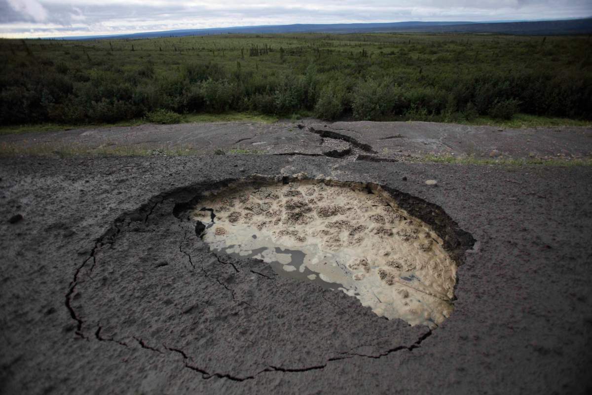
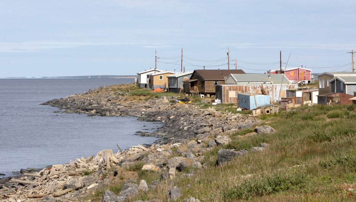
The impact of climate change on roads and other crucial structures in Canada’s North is likely to be even greater than feared, says new detailed research.

“These are greater impacts than anything I’m aware of,” said John Pomeroy, head of the University of Saskatchewan’s Global Water Futures program and lead author on a recently published paper.
READ MORE: Climate change may impact vital roads, First Nations leaders say
Scientists have long warned that Canada’s northwest corner is warming more quickly than almost any other spot on the globe.
Using modelling techniques so detailed they take a supercomputer to process, Pomeroy and his colleagues say they’ve looked more closely than any other researchers into how temperatures are likely to play out over the next century.
They concluded that, if greenhouse gas emissions continue at their current level, temperatures in the area around Inuvik, N.W.T. will go up by six degrees on top of the three degrees they’ve already risen.
WATCH: Northern community copes after being cut off by landslide

“It’s hard to imagine what that world would even look like,” Pomeroy said.
Still, they’ve tried.

Get breaking National news
The researchers project about 70 per cent more snow will fall, but the snow season will shrink by almost a month.
That means spring runoff will more than double, causing the kind of heavy flows and floods that wash out links such as the Dempster Highway, Canada’s only route from the south all the way to the Arctic coast.
They say roads in winter will be vulnerable to a phenomenon in which melted groundwater seeps to the surface, then refreezes into a thick layer of ice.
Permafrost holding up buildings and roads will melt and retreat by another 25 centimetres.
“They’re already seeing some of these problems,” Pomeroy said. “Washouts are a common occurrence.”
The predictions are based on a modelling technique so precise that it can zero in on an area as small as four square kilometres. That’s small enough to predict the impact of thunderstorms that can produce flood-causing rainfall.
Pomeroy said the model’s accuracy has been checked by using it to “predict” past weather. It’s considered accurate if the results from the model match what actually happened.
“The model replicated current weather very accurately.”
The study has major implications for construction in the North.
WATCH: Canada’s aging infrastructure is taking a toll on motorists
Last year, the federal government committed $570 million over 10 years for roads and other infrastructure in the N.W.T. The last link of the Dempster, from Inuvik to Tuktoyaktuk, was opened last summer.
Territorial governments have also been trying to open up areas for oil and gas development.
“It’s going to be a challenge throughout the North,” Pomeroy said.
The Arctic study is only the first region to which the new model will be applied. Researchers at Global Water Futures are working on similar studies for the Rocky Mountains, the prairies and the boreal forest, as well as specific watersheds such as the Bow River flowing into Calgary.
Pomeroy said the impacts will be less if the world is able to reduce its carbon emissions, but right now, that doesn’t look likely.
“This isn’t necessarily the future we’ll have. But it’s the one we’re headed for.”


Comments