
A low-pressure system is developing over southern Alberta Sunday morning, which will intensify and track into central Manitoba by Monday morning.

Some snowfall will begin spreading into western Manitoba Sunday afternoon and into eastern Manitoba by Sunday evening.
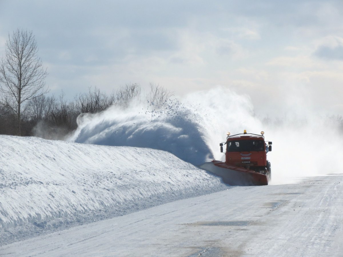
“We’re expecting some very strong winds with this system tonight. Wind gusts of up to 60 kilometres per hour,” said Environment Canada meteorologist Mike McDonald. “The combination of the falling snow and the strong winds, especially out over the open areas there could be near blizzard conditions with poor visibility in the snow and blowing snow.”
Five to 10 cm can be expected over western Manitoba with higher amounts of 10 to 15 cm for eastern regions.
The City of Winnipeg says their crews are monitoring the weather and road condition closely and they’ll be salting as needed.
“Trucks and plows are at the ready for any snow clearing that is required with the approaching snowstorm,” the City of Winnipeg said in an email to Global News. “Motorists are reminded to please drive to conditions and to slow down and stay back and stay safe from trucks and heavy equipment that are working.”


Motorists are advised to take extra time and precautions on the roads Monday.
“We’re expecting snow to start blossoming out over western Manitoba this afternoon and that area of snow will move into the Red River Valley and Winnipeg area by evening,” McDonald said. “We’re expecting the snow to persist right through the night and then gradually taper off from West to East during the day on Monday.”
Comments