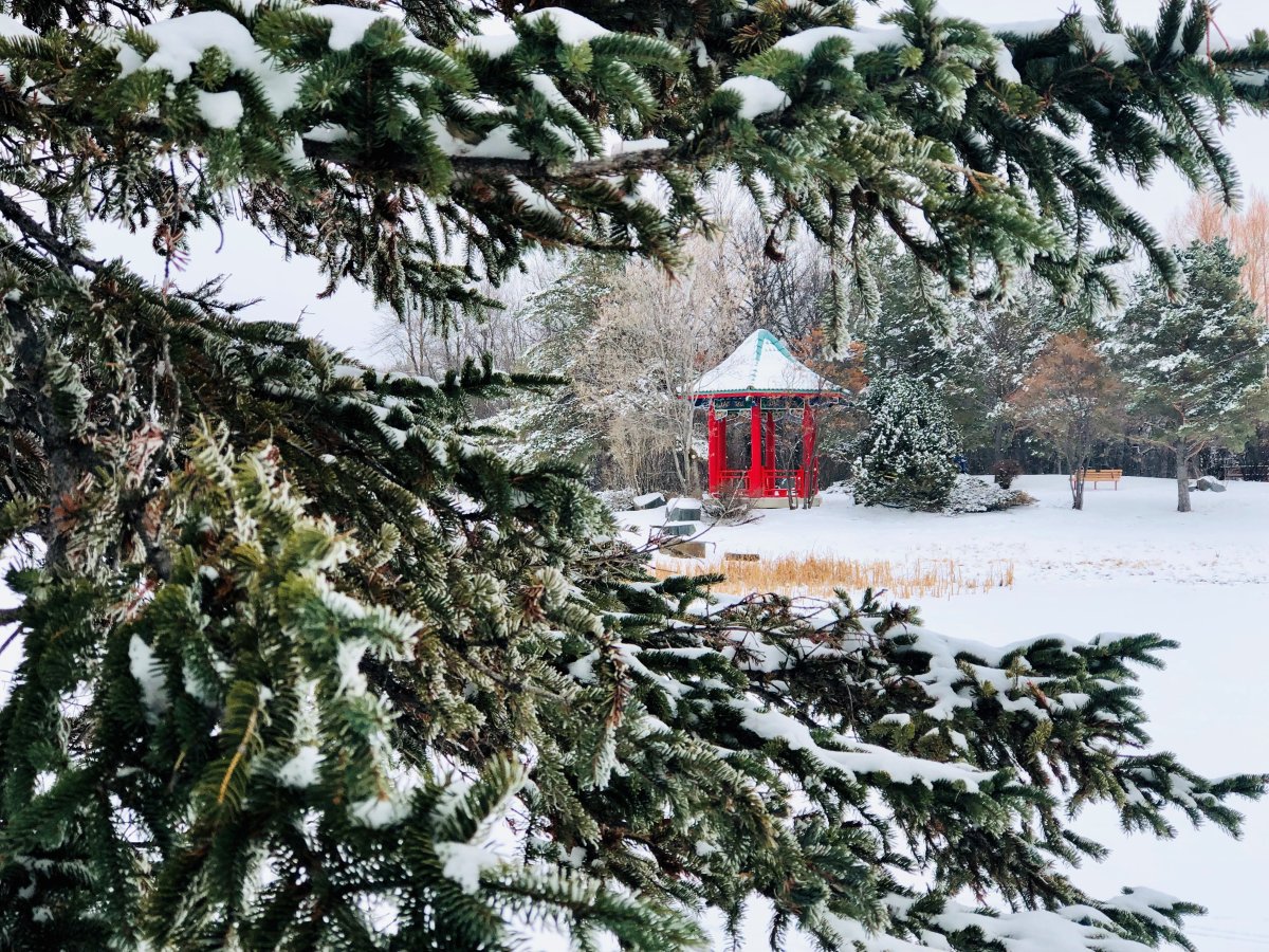
I feel like I’ve heard a lot of people complaining about cold weather in December. Realistically though, it’s been a pretty even split so far in December with mild days compared to cooler ones. Only one afternoon and two mornings have been colder than normal for this time of year and our daily mean average temperature sits at -11.1 C when this month, Winnipeg typically averages -13.2 C so we’re looking pretty good.

This week will lean towards the milder side again. Daytime highs will stay in single digits and even get close to the freezing mark around the middle of the week. This high point is also when we’re expecting some snow in the city.
While there could be some snow East of Winnipeg on Tuesday night, Wednesday and Wednesday night will see more widespread precipitation. Low pressure will develop in the prairies and bring with it the likelihood of snow with the possibility of even some mixed precipitation thanks to some warmer air.
Snowfall amounts look like they’ll be less than 5 cm with models on Monday expected around 3 cm, which is up slightly from the previous model runs.
Behind the snowfall, temperatures on Thursday may fall during the day or stay flat before they cool off into Friday morning.
Hard to believe our windchill was -38 last week.
- Toronto Pearson gold heist: Ontario man arrested at airport after arriving from India
- Capital gains changes could have ‘irreversible’ effects, business groups warn
- A ‘zombie’ virus is raging among raccoons. What to know
- Could notwithstanding clause be used on abortion? Poilievre’s office says ‘never’


Comments