
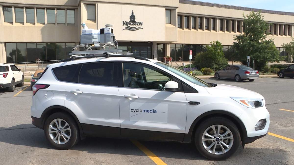
People in Kingston may have noticed a white unmarked car roving around the city, snapping photos from cameras mounted on its roof.

The car doesn’t belong to Google Maps, but rather has been commissioned by the city of Kingston, which has invested $170,000 to capture and stitch together a 3D map of the Kingston cityscape.
READ MORE: Kingston: The electric city
The city has hired Brockwell IT, a geospatial tech firm, to capture high-definition 3D images that are meant to help the city plan for future projects and manage current infrastructure.
Jeff Bumstead, Kingston’s chief information officer, says although the imaging technology used by the city is much like the cameras on top of the self-driving cars used by Google, this project will be more useful to city officials due to the heightened precision of Brockwell IT’s camera system.
“That 3D image is a very rich image, it’s much more than a map, much more than what you see on Google Maps,” said Bumstead.

Get daily National news
The high-definition 3D map is meant to measure the size of objects and the relationship between those objects within an inch, which Bumstead says will help determine details of city planning and management.
“We can look at our assets of that image — be it a streetlight, a street sign or a tree — and we can actually measure the height of that tree — see if it’s impinging — measure the relationship of it to a building, and really manage what’s happening in the city.”
As for the $170,000 price tag, Bumstead says it was justified due to the potential long-term benefits of the project.
“The city will own this data and we’ll use it for years in the future,” said Bumstead.
- B.C. man charged, accused of driving motorhome onto Abbotsford airport runway
- Wildfires near Clinton, B.C. merge, stretching nearly 670 square kilometres
- Quebec paramedics reach tentative deal with province after years without contract
- Historic Halifax tree vandalized again leaving community baffled


Once the data is collected, Bumstead said the imagery will be available to all departments in the city. When asked if the 3D images would be available to the public, Bumstead wasn’t sure.
WATCH: Is Google Maps affecting your brain?

“Pieces of it may be available to the public at some point. It’s obviously a very large system.”
Bumstead said that Kingston is one of the first Canadian municipalities to commission a 3D map of its own city for planning and management purposes.
“In terms of Canadian municipalities, we’re very early.”
The total mapping of the city will take two weeks to complete, and all licence plates and faces captured in the images will be blurred for privacy purposes.
Comments
Want to discuss? Please read our Commenting Policy first.