

Warmer days are on the way, but not before a few blips.

Saskatoon Forecast
Wednesday
Single digits was where the day started in the temperature department, with the mercury rising from 9 degrees up into the upper teens by late morning.
A mix of sun and cloud kicked off the day with a northerly breezy, which keeps things cool right into the afternoon.
A few more clouds with a very slight chance of showers will ripple through the remainder of the day as we warm up into the low 20s for a daytime high.
Wednesday Night
Clouds will clear out of the area during the evening with mostly clear skies overnight as we cool back a few degrees into single digits.
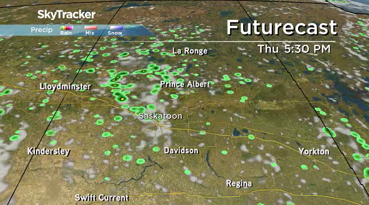
Thursday
Mostly sunny skies will start things off on Thursday before clouds build in during the day with a chance of afternoon showers and the slight risk of a thunderstorm into the evening.
Winds will finally ease right back to give us a break for the entire day as we heat up to an afternoon high around 23 degrees.
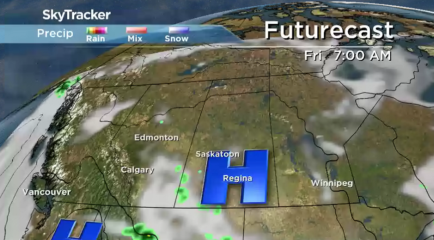
Friday
The final full week of July will finish on a slightly warmer note on Friday with temperatures sliding up a few degrees further into the mid-20s in the afternoon.
Mostly sunny skies will start the day, but a few clouds are expected to bubble up in the afternoon with a very slight chance of late day showers.
Weekend Outlook
Partly to mostly sunny skies with a slight chance of late day showers stick around on Saturday before we tap into more sunshine on Sunday.


Daytime highs will spring up to around 27 degrees to kick off the weekend on Saturday before bounding up even further towards and possibly even into the 30s in the sun on Sunday.


Lucas Winiewski took the July 25 Your Saskatchewan photo near Broderick:

Saskatoon weather outlook is your source for Saskatoon’s most accurate forecast and is your one stop shop for all things weather for central and northern Saskatchewan with comprehensive, in depth analysis that you can only find here.
Comments