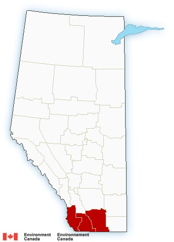
Another round of wintry weather is hitting southern Alberta Easter Sunday and Monday. Environment Canada issued a snowfall warning for areas in southwestern parts of the province early Sunday morning. As of 11:45 a.m., a number of areas remained under the warning, including:

- Cardston
- Fort Macleod
- Magrath
- Crowsnest Pass
- Pincher Creek
- Waterton Lakes National Park
- Lethbridge
- Taber
- Milk River
Environment Canada said total amounts of 10 to 20 cm is expected in those areas by Monday afternoon.
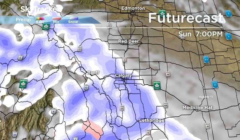
A system bringing moisture from the Pacific brought precipitation in the form of snow to Alberta by Sunday afternoon. The snow got heavier Sunday night before it tapered off on Monday.
Heavy snow was expected to fall along the foothills.
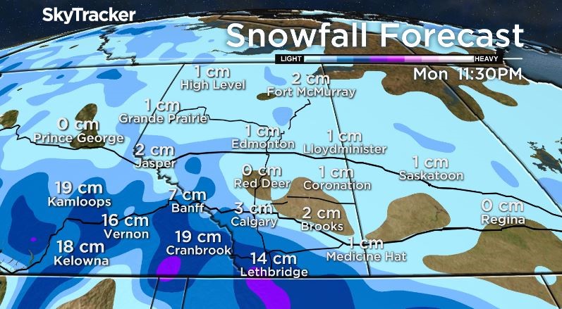
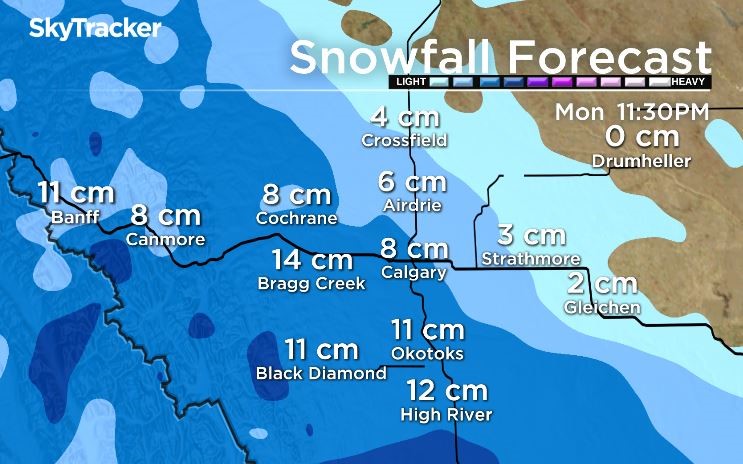
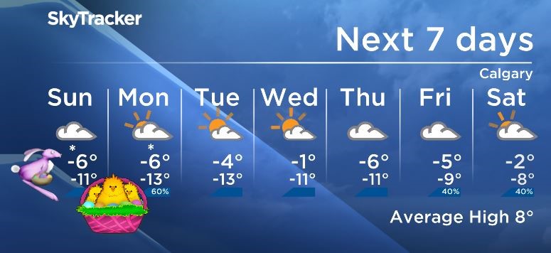
Calgary is not under a snowfall warning, but automated snowfall models indicate the city could see three to eight centimetres of snow by late Monday night.
Cold arctic air will continue to dominate our temperatures in southern Alberta as daytime highs remain below seasonal all weekend long.
In Calgary, flurries started Sunday afternoon with a forecast high of -6 C, but with a light breeze from the north and east, it felt more like -10.

Get breaking National news
The long-term forecast for Calgary looks chilly for the first week of April 2018.




Comments