There is a risk of freezing rain around parts of southern Manitoba late Thursday night.

The second dose this week in a season that has already seen its share of winter precipitation.
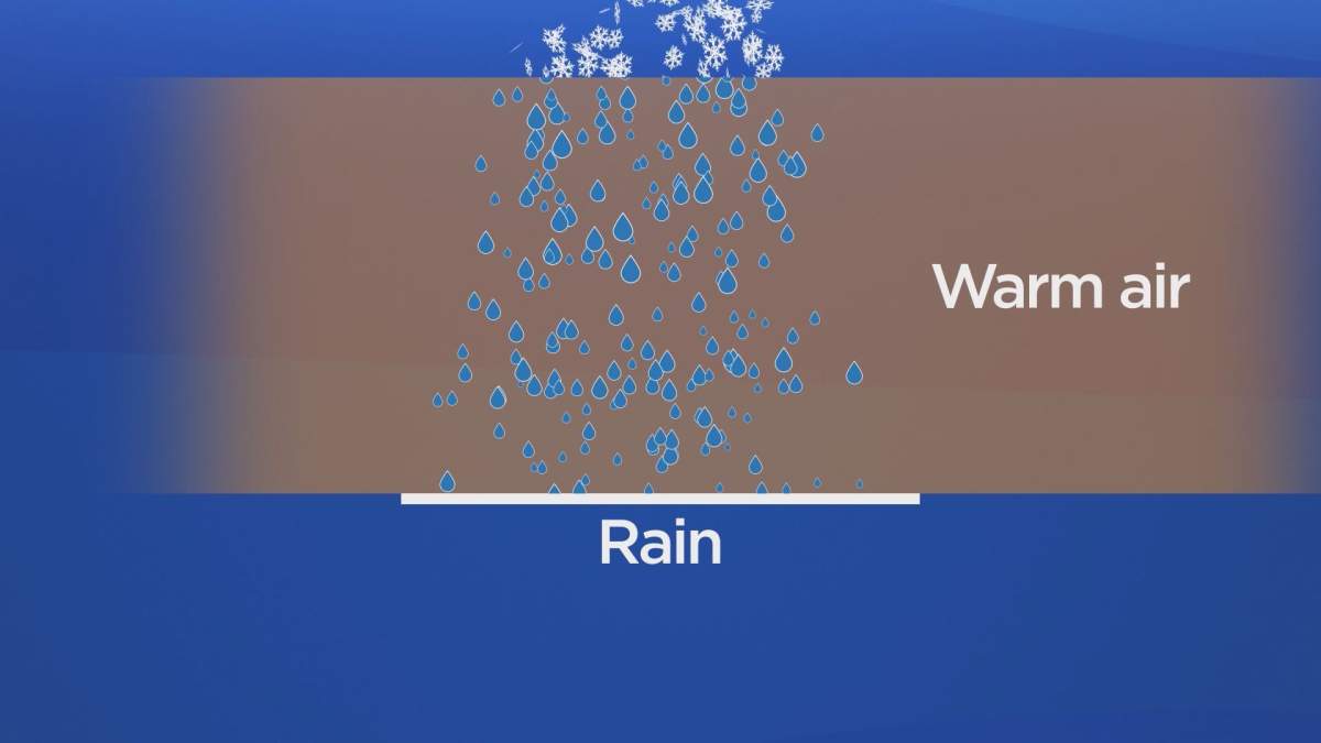
In case you were wondering how it varies, these pictures should help to illustrate the differences.
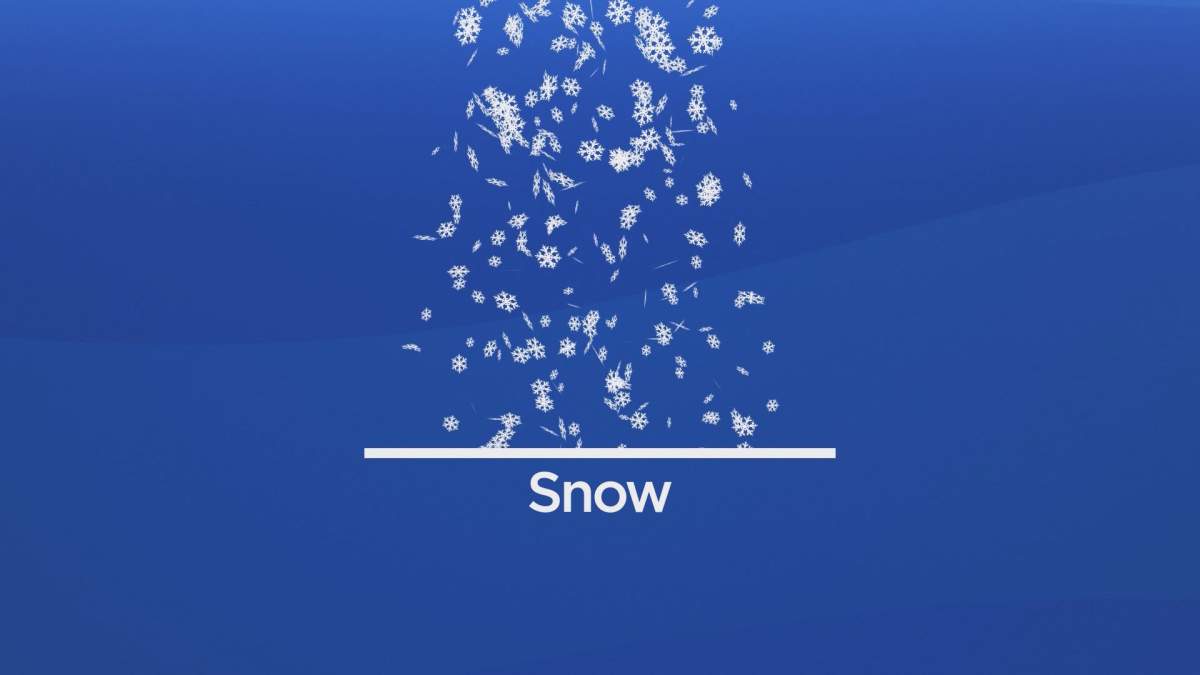
Snow: In Manitoba, all precipitation that forms in the winter starts out as snow because the city is so far north and the upper layers of the atmosphere are colder than at the surface. Snowflakes are a collection of ice crystals that cling to each other as they fall towards the ground. Precipitation will continue to fall as snow when the temperature remains at 0 degrees Celsius or lower from the cloud base to the ground.
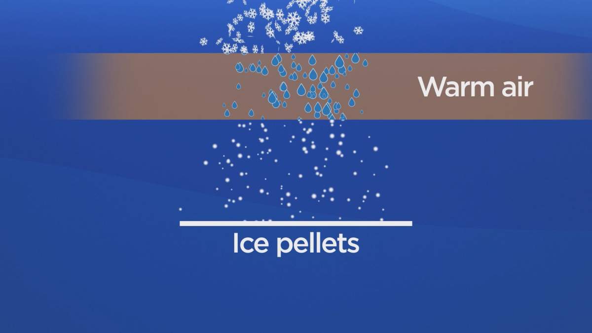
Ice pellets/sleet: This will happen when snowflakes only partially melt when passing through a shallow layer of warm air. The water droplets will re-freeze as they move back through cooler air and reach the ground as frozen rain drops that will bounce on impact. Depending on the intensity and duration, ice pellets can accumulate on the ground much like snow.
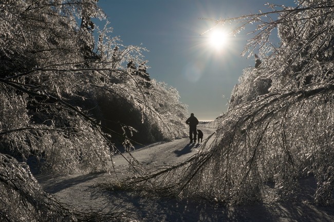
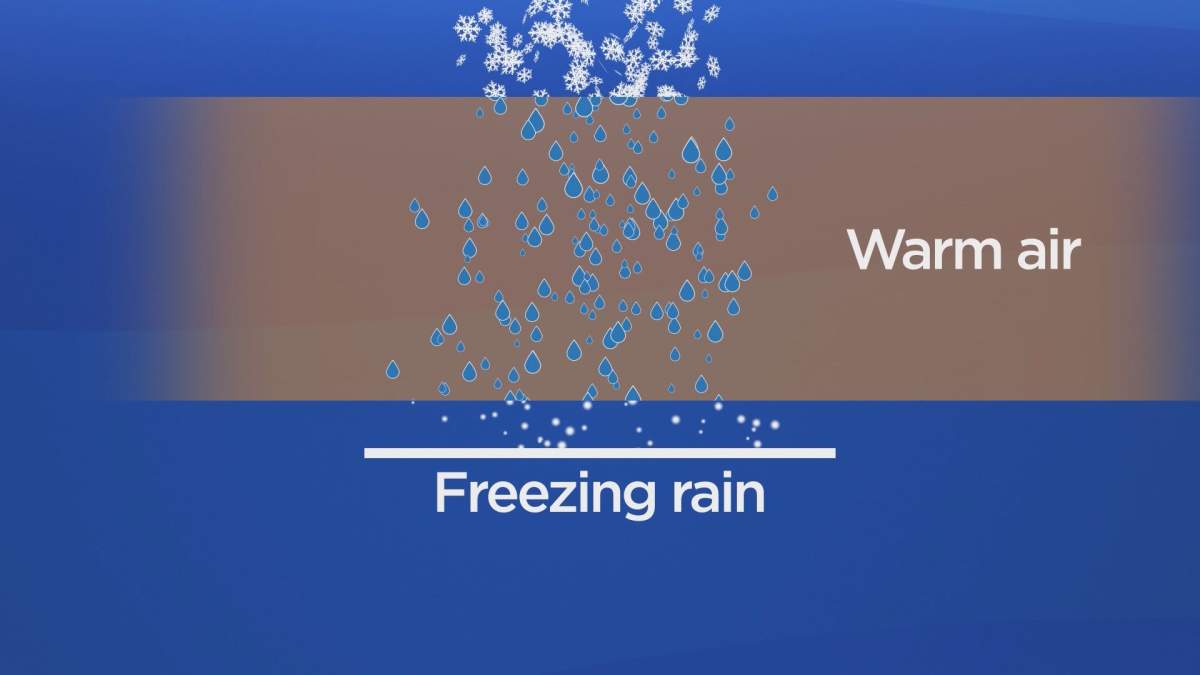
Freezing rain: snowflakes will descend through warmer air and melt completely. As the water droplets fall through another thin layer of cooler air just about surface, they do not have enough time to re-freeze before hitting the ground. What will happen is they freeze upon contact with anything that is below 0 C, creating a glaze of ice on the ground, trees, roads and power lines. Even light accumulation can cause dangerous travel conditions and heavier amounts can cause significant damage to trees and power lines.

Get breaking National news
Freezing rain warnings are issued in the Prairie provinces when freezing rain is expected to pose a hazard to transportation or property or when freezing rain is expected for at least two hours.
Rain: Precipitation will melt and does not re freeze before it reaches the surface.
Information gathered from National Oceanic and Atmospheric Administration and Environment and Climate Chance Canada.





Comments