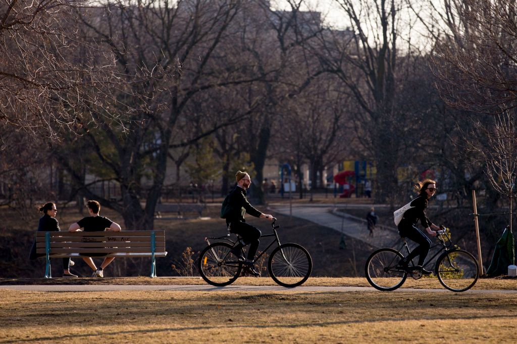
After experiencing the wettest May in more than a decade, forecasters with Environment Canada say spring-like weather conditions will continue in the region through the first half of June.

According to the national weather service, around 134 millimetres of rain was recorded in the London area last month, making it not just the wettest May since 2004, but the fifth-wettest May on record, said Environment Canada meteorologist Geoff Coulson.
“The long-term average for the month of May is 89.4 millimetres,” he said. “This was, in fact, the wettest May since back in May 2004 when the area received 188.4 millimetres, and that 188 is also the current record for the wettest May in the area.”
In addition, Coulson says last month was somewhat cooler than normal, with an average temperature of 12 C for the month — about a degree below the long-term monthly average of 13.1 C.
“We did get some warmer weather towards the end of the month, and that did bump the average temperature up a little bit,” he said.
“This was the coolest May since back in 2008.”
Those hoping that cooler temperatures will be left behind moving further into June may be out of luck, he says. Models are indicating the first half of June will be slightly cooler than normal.
“Unfortunately, to start off the month, it looks like we’re going to start with a similar weather pattern to what we finished May off with,” he said. “We are going to have some nice days in store to finish off this work week and head into Saturday, but then more unsettled weather is forecast to move into the area for Sunday and into next week, and that means more in the way of shower activity [with a] potential of some thunderstorms as well.”
Coulson said the next few days will see near seasonal temperatures. In particular, Saturday will see a high of 24 C, about the average for this time of the year, he said.
Looking further into the summer, Coulson says there were no strong trends yet for July and August. Some models. he said, were indicating seasonal temperatures that may be balanced out with a few cooler days.
Summer will officially arrive on June 21.
— With files from Matthew Trevithick and Natalie Lovie


Comments