

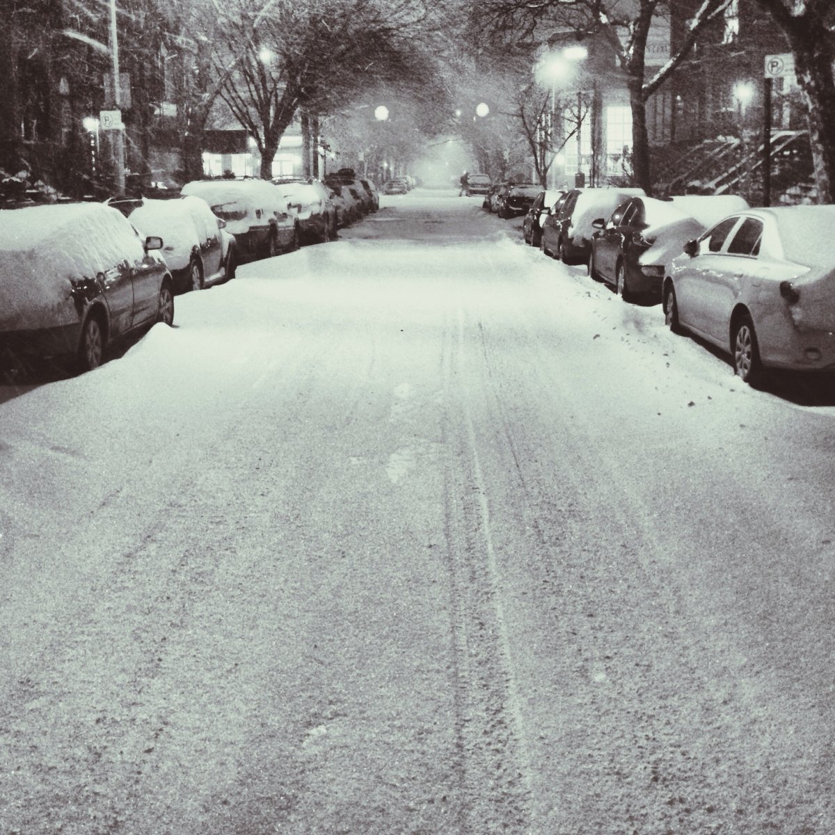
It may be a snowy commute into work Tuesday.

Environment Canada issued a special weather statement for London, Parkhill, Strathroy, Komoka, and Middlesex County as of Monday morning, with forecasters predicting between 10 and 15 centimeters of snow to fall overnight and into Tuesday morning.
“The snow is going to continue in London through the night tonight, and then through at least the first half of the day tomorrow. Winds are going to pick up as well, and that’s going to create blowing snow, so travel will become difficult on the roads,” Anthony Farnell, Chief Meteorologist with Global News, said.
According to Environment Canada, snow will become more localized by Tuesday afternoon, with another 10 centimetres expected to fall late Tuesday in Sarnia and portions of Essex and Kent because of squalls developing over Lake Huron.
Farnell says the upper-level low is coming in from the Midwestern U.S., and energy from that system is being transferring to a blizzard developing along the East Coast.
“Some U.S. cities, like New York, could see up to two feet of snow in the next few days. So that’s really where all the heavy snow will be. But some of that moisture will get flung back, and that’s why much of Southern Ontario is expecting this winter weather to last through Tuesday.”
Farnell says London isn’t getting the worst of the system. Brantford towards Hamilton, the Niagara region, and Chatham towards Windsor are looking at between 30 and 40 centimetres because of their proximity to Lake Erie and Lake Huron, which are completely unfrozen.


- ‘Shock and disbelief’ after Manitoba school trustee’s Indigenous comments
- Canadian man dies during Texas Ironman event. His widow wants answers as to why
- Several baby products have been recalled by Health Canada. Here’s the list
- ‘Sciatica was gone’: hospital performs robot-assisted spinal surgery in Canadian first
RELATED: Latest weather for London area
London’s Division Manager of Transportation and Roadside Operations John Parsons says salt and sand trucks were on the roads Monday afternoon, and they’re watching weather radars and forecasts.
“We’re ready to respond firstly with our 26 road sanders and salters — our first line of defence. And then if we need more, we could send out 66 road ploughs or 42 sidewalk units.”
Parsons reminds people to take extra time to make the drive into work tomorrow morning, and says that all on-street parking has been suspended overnight.
A few additional flurries are possible Thursday, and then we’re expecting a slight warm up on St. Patrick’s Day and into the weekend.
Comments