

Snow is on the way for B.C.’s South Coast, including Vancouver, the Fraser Valley and Vancouver Island.

The new system is moving slower however, so the snow is not expected to start falling until late Thursday evening, possibly around 11 p.m.
Winds will also be blowing strongly from the east, meaning there could be blowing snow.
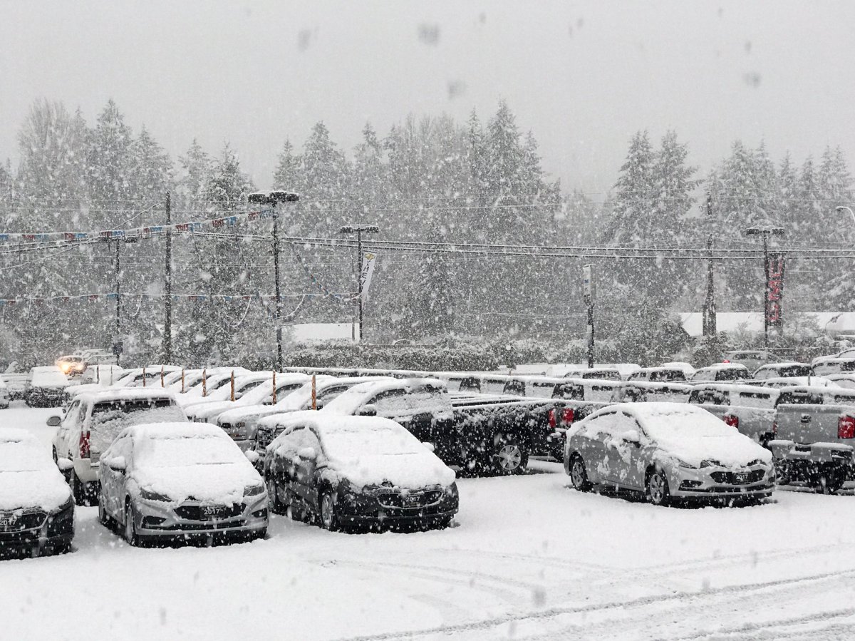
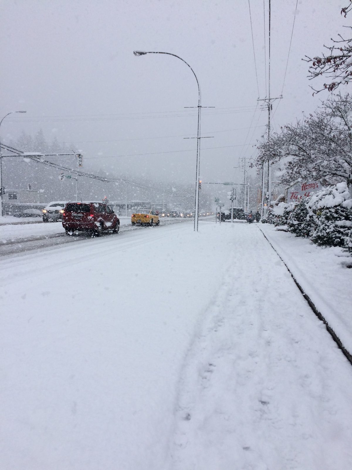
Once it begins, the snow will continue to fall into Friday morning with amounts between 10 and 15 centimetres, affecting the morning commute.
The snow will fall across Metro Vancouver and out towards the Fraser Valley, including areas like Langley, Maple Ridge and Surrey. Communities in the eastern Fraser Valley, like Abbotsford and Chilliwack, will likely see some snow, but not as much accumulation.
READ MORE: It’s the coldest morning in the Lower Mainland since early January
Environment Canada now says snow will not change to rain over low lying coastal communities until Friday afternoon or Friday evening. For communities at higher elevations or inland, precipitation will remain in the form of snow through Friday night or Saturday morning. Total snow accumulations of 5 to 15 cm are expected over low lying coastal regions with up to 25 cm over high terrain.
Any snow that falls tonight and Friday will probably stick around.
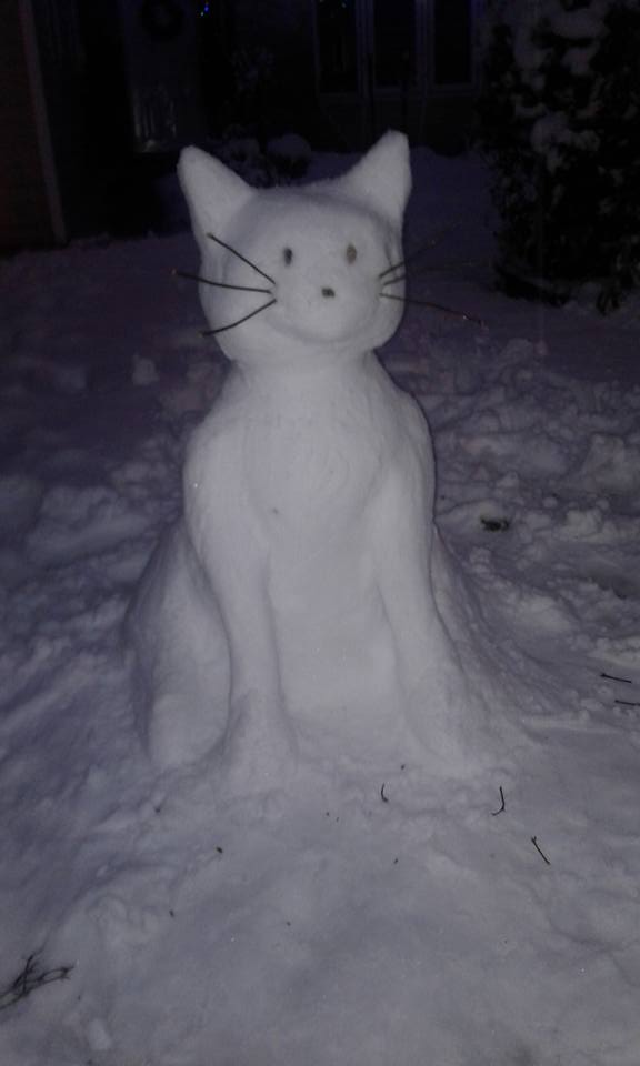
When the snow hit Metro Vancouver on Monday, it had not snowed significantly in the region in about 1,000 days.


READ MORE: Windshields shattered after ice bombs fall from Metro Vancouver bridges

Temperatures will plunge
Environment Canada has issued a Arctic wind warning for areas such as Howe Sound, Whistler and the eastern Fraser Valley, starting Wednesday night and continuing into Thursday.
The combination of strong winds and low temperatures mean wind chill values will drop to near -20.
Anyone who is not dressed warmly is at risk of frostbite and hypothermia in cold weather.
With cold temperatures in the near future, Environment Canada says it is not expected to get any warmer in the coming days.
More precipitation is on the way Saturday but will likely fall as rain for low lying coastal areas. Flurries are possible on Sunday and a return to cold sunny conditions is forecast for early next week as Arctic air will take a firm grip on southern B.C.
More snow is possible next week as well.
WATCH: If you feel you didn’t get enough snow in Metro Vancouver on Monday, get ready, more could be on the way tomorrow. As Jordan Armstrong reports, efforts are well underway to ensure the City is prepared for whatever happens.

Comments