


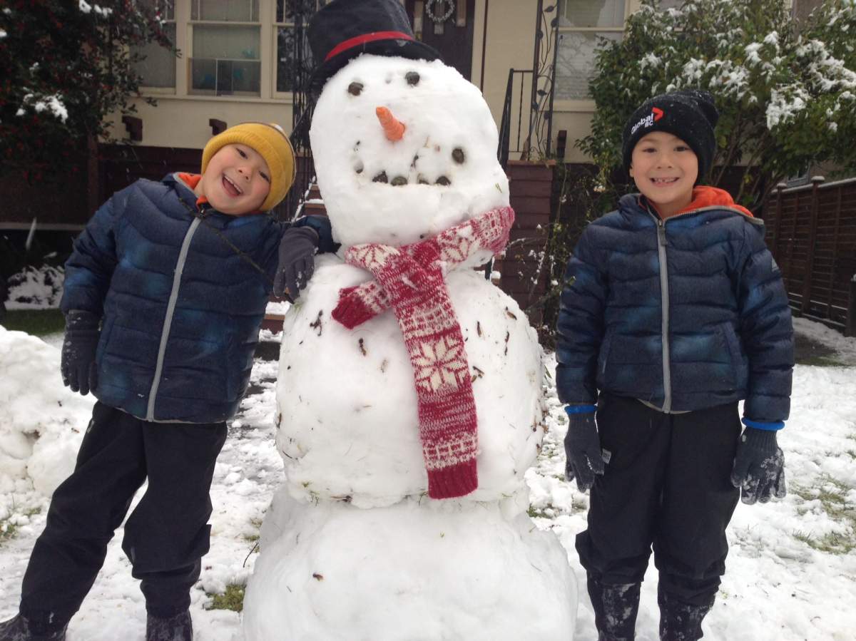
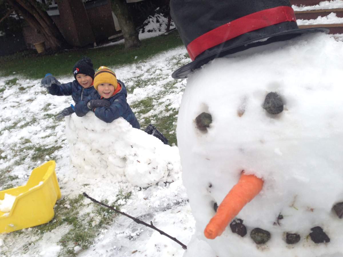
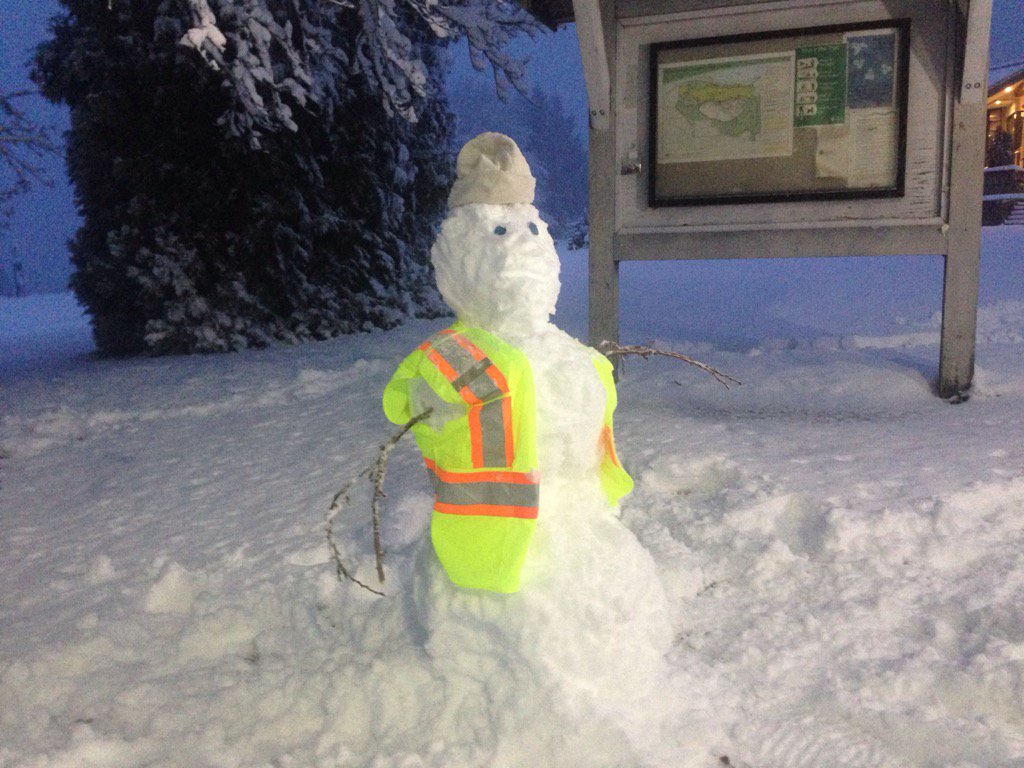
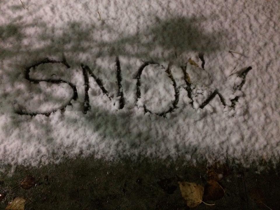
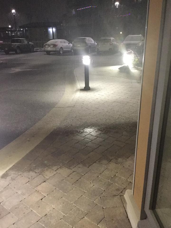
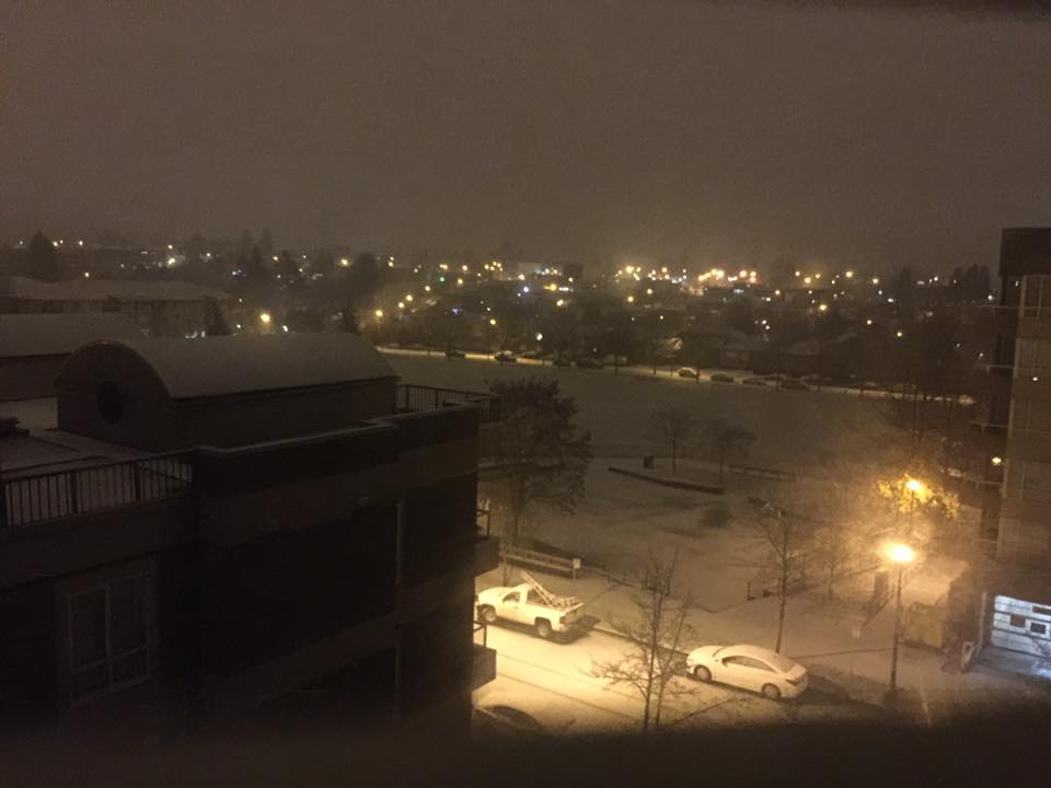
Residents in Vancouver and the Fraser Valley woke up to a wintery blast of snow on Monday, with areas receiving about 10 to 12 centimetres at lower elevations and up to 20 centimetres at higher elevations.

The snow affected the morning commute, affecting traffic, buses, causing delays on the SkyTrain and ferries and closing some schools.
READ MORE: Snow falls across Vancouver, Lower Mainland, snarling morning commute
It looks like another blast is on the way later this week.










- Record slow hurricane season, but Maritimers warned to stay vigilant about extreme weather
- Tornado confirmed in Winnipeg neighbourhood, another west of the city
- ‘A lot of work ahead’: Storm-ravaged Saskatchewan cities continue cleanup
- ‘Warzone’: Storm rips through Winnipeg leaves thousands without power


Global BC meteorologist Mark Madryga says temperatures in Vancouver and the Fraser Valley will drop Monday night, into Tuesday and Wednesday. This means colder Arctic air will sweep across the south coast with temperatures being five to ten degrees below normal and overnight lows reaching -5 C.
But more precipitation will fall Thursday morning and coupled with the cold temperatures, Madryga says more snow is expected. It is too early to predict how much snow will fall at this time, however.

Get daily National news
Thursday will warm up as the day goes on and the snow will turn to rain or a mix of rain and snow.
Stay tuned to our SkyTracker weather page for updates.


Comments
Want to discuss? Please read our Commenting Policy first.