

An arctic blast this week followed by a return of the polar vortex this weekend!

Saskatoon Forecast
Monday
The cool air has arrived to kickoff the work week with wind chills making it feel like -20 Monday morning in Saskatoon with -30 wind chills in areas east of the city.
Very light snow fell in the city Monday morning, picking up into the afternoon as temperatures dropped from -5 overnight back to -10 this morning and into the middle of the day.
A chilly north-northwesterly wind has kicked in at sustained speeds between 20 to 30 km/h with gusts upwards of 40 km/h at times, keeping things quite cool and holding wind chill values into the low minus teens.
These conditions are expected to persist for the remainder of the day with temperatures only expected to climb up to -9 at most as the wind, cloud cover and light snow continue.
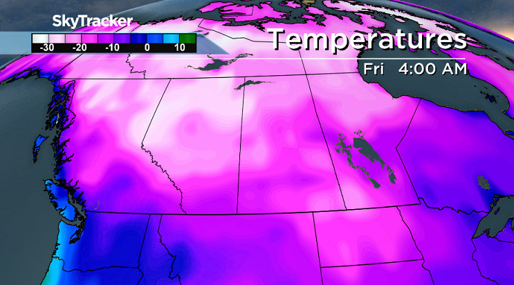
Tuesday
Minus 28 to -30 is what it’ll feel like with wind chill not only Tuesday morning when you wake up, but right into the middle of the day.

Partly to mostly cloudy skies and a chance of flurries will persist throughout the day with northwesterly winds with gusts upwards of 40 to 50 km/h making our afternoon high in the mid-minus teens still feel like the low -20s with wind chill.
The main culprit for this sudden surge of cold air is a ridge of high pressure building in the arctic air from Alaska and a low pressure system in southeast Saskatchewan bringing snow and winter storm warnings.
Wednesday-Friday
We remain in this setup with the centre of the arctic high and core of the cool air slowly moving in toward our province through the week.
As such, we’ll see daytime highs gradually cool through the minus teens Wednesday through Friday with morning lows dipping from the minus teens on Wednesday into the minus 20s Thursday and Friday with morning wind chills falling into the -30s at times.
Winds will ease off finally through the day on Wednesday under cloudy skies with a chance of flurries, then we get a bit of clearing on Thursday with some sunny breaks possible before some more clouds build in on Friday with a chance of flurries as the next system slides by south of the city.
Weekend Outlook
That system will keep us under mostly cloudy skies with a chance of flurries on Saturday before we may get some clearing on Sunday.
The weekend will also mark a return of the polar vortex – the core of the coldest air in the northern hemisphere that typically sits over the North Pole.


It will push in frigid arctic air as it moves into northern Saskatchewan, dropping our daytime highs back toward and into the -20s with morning lows down as far as the mid-minus 20s.
Winter Storm Warning

Hazardous winter conditions are expected in southeast Saskatchewan as a system carrying heavy snow stalls over that region.
Total snowfall accumulations are expected to be in the 20 to 30 centimetre range by Tuesday morning with gusts upwards of 50 to 70 km/h resulting in near -zero visibility at times in snow and blowing snow.
Environment Canada says to consider postponing non-essential travel until conditions improve.
For the latest weather alerts download the Global News Skytracker weather app for iPhone, iPad or Android.

READ MORE: Get a 2017 Your Saskatchewan calendar today
Saskatoon weather outlook is your one stop shop for all things weather for Saskatoon, central and northern Saskatchewan with a comprehensive look at your local forecast that you can only find here.
Comments