
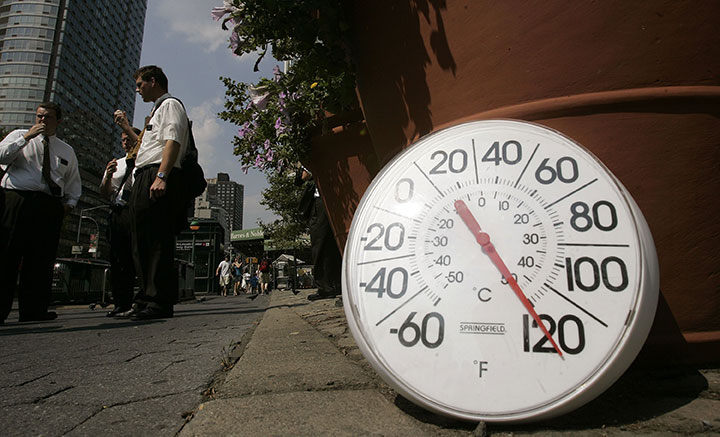
A large swath of the United States is preparing for an intensive and prolonged heat wave. And parts of southwestern Ontario will also feel the heat.

The heat wave is set to start on July 20 and continue for six days. Temperatures will climb to around 30 C in Windsor on Wednesday and continue into the following week.
READ MORE: 7 ways to lower your hydro bill this summer
Though Canada will be affected by the high pressure system, it will mostly affect the U.S. Midwest and Plains.
The reason for this extended heat wave is being blamed on a “heat dome.” Just as the term “polar vortex” became popular during the winters of 2013 and 2014, a heat dome isn’t an actual weather phenomenon, but a phrase that describes what is causing it.

A heat dome is created when a high-pressure system — which is associated with fair weather — forms in the mid to upper atmosphere. Warm air descends and is trapped, causing a rise in temperature. Sometimes the rise in temperature is dramatic, as is in the case with the coming forecast.
In analyzing the intensity, meteorologists also look at the 500-millibar geopotential height. This is the height in the atmosphere where 500 millibars are measured; the average height is about 5,000 metres. The higher up in the atmosphere it is, the hotter it gets at the surface.

Get breaking National news
READ MORE: Warming climate causing extensive greening in Canada, Alaska
There was a similar effect in mid-June in the American southwest and an earlier one in the west.


There is the fear that climate change and warming temperatures and changes in weather patterns are making these heat domes more common.
Ryan Maue, a meteorologist with WeatherBell Analytics told The Washington Post during the last outbreak that occurrences of these sorts of intense heat domes have become more common over the past 30 years.
He analyzed data from 1958 and found that most of these heat domes started appearing around 1983, with most occurring since 1990. He found that since 1958, there were only three instances where the geopotential height reached 6,000 metres or higher.
https://twitter.com/RyanMaue/status/743120202687221760
The National Oceanic and Atmospheric Administration (NOAA) is forecasting temperatures to reach around 35 C with a humidex making it feel more like 40 C or higher across the Midwest. In the Plains, temperatures are expected to rise to 40 C with a humidex of around 45 or higher.
Comments