
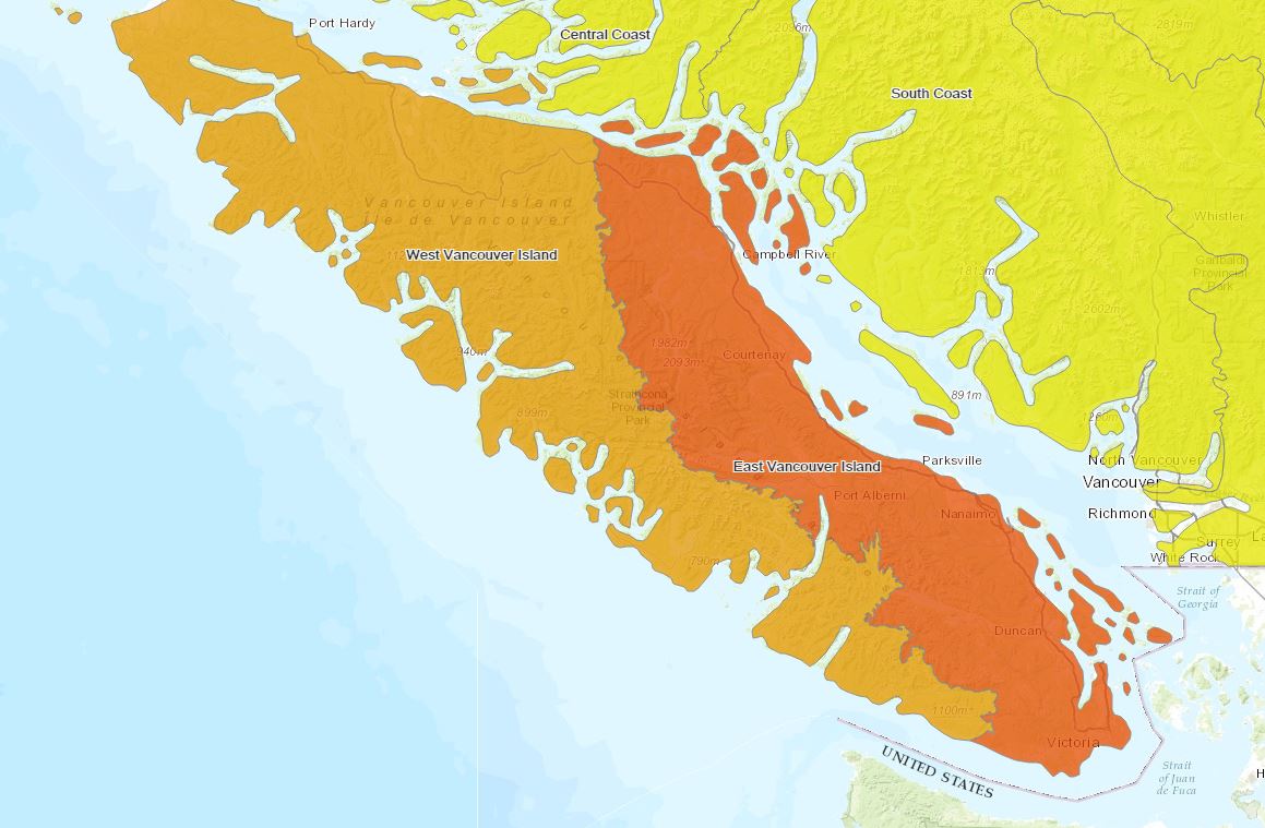
We are only a week into summer but Vancouver Island is already in the depths of a serious drought.

The Forests Ministry has moved the drought rating up to Level 4 – the highest possible rating for parts of the island.
Those drought condition are in effect across the southeast part of the island, stretching from Port Renfrew to Victoria, and all the way up to Campbell River.
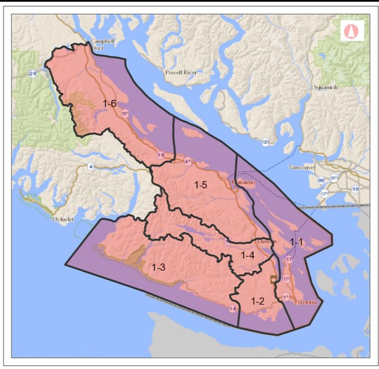
The move is also affecting fishing in rivers across much of the southern island. Big Qualicum, Puntledge and Quinsam Rivers will remain open, along with Campbell River and all streams north of the City of Campbell River and Bamfield.
Map of angling closures for southern Vancouver Island:

The rest of the island is still under Level 3 conditions.
A drought rating is not the same as water restrictions, such as sprinkling bylaws and car washing. Those are usually put in place by the local municipal government, based on local water supply and provincial drought guidelines.
Comments