

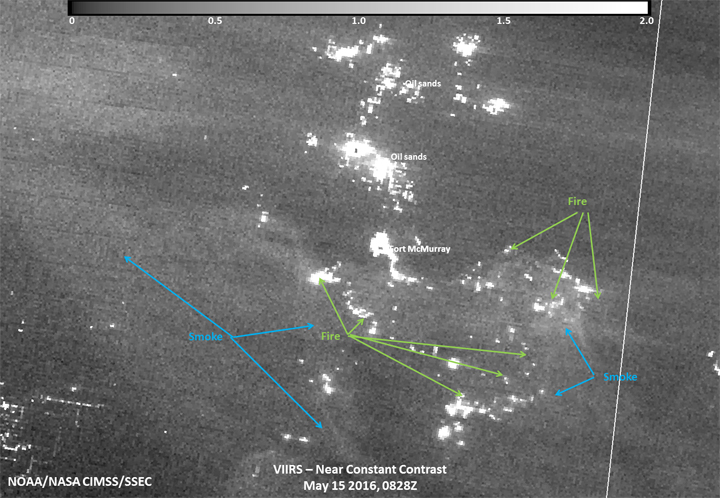
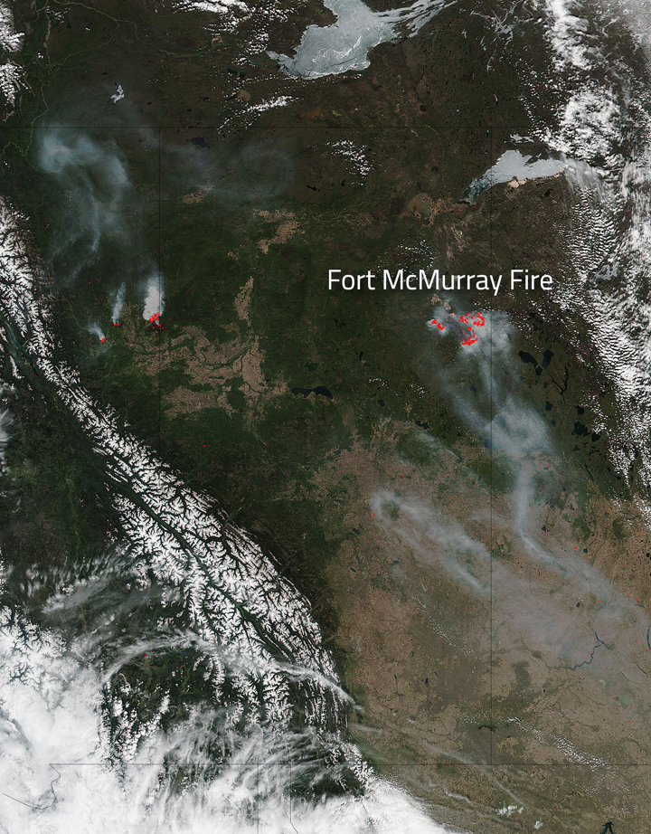
While the worst of the wildfires seem to be over in Fort McMurray, fires continue to rage in and around the area.

NASA has released new images of the fires as seen from satellites, illustrating how widespread and devastating they have been.

The wildfire is still out of control, with an estimated 284,214 hectares burning. Five new fires have started in the region over the past 24 hours.
It is taking legions of firefighters to battle back the flames and prevent any further widespread damage. There are 1,919 firefighters, 161 helicopters, 377 pieces of heavy equipment and 29 air tankers battling the blaze.


Get breaking National news
Evacuation orders have been issued for Fort McMurray, Anzac, Gregoire Lake Estates and Fort McMurray First Nation.
And while the weather isn’t blistering hot and dry as it was during the worst of the fires, the region is still considered to be under extreme conditions for fire. However, the forecast is calling for rain over the next week.

- Retired Quebec teacher buys winning lottery ticket at last minute, wins $40M
- N.B. election: Higgs went to ‘very dark place’ with Liberal joke, opponent says
- NDP want competition watchdog to probe potential rent-fixing by landlords
- Jasper mayor says CN Rail relocation will be devastating: ‘Deeply disappointed’


Comments