
WINNIPEG — Another warm front will be making its way through parts of Manitoba and ahead of it – freezing rain for many parts of the province.

Environment Canada has issued warnings for a few regions but not included in those warnings – the city of Winnipeg.
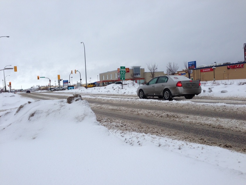
However, Thursday night in the city there is most definitely a risk of rain of the frozen variety.
The system bringing the freezing rain is expected to develop over Flin Flon and The Pas.

Get breaking National news
From there it will spread over to Grand Rapids and into the Interlake by Friday morning. Meaning travel could be treacherous in the early morning hours.
Our low tonight in Winnipeg is forecast for -9 Celsius with a slight chance of flurries along with that risk of freezing rain.
Temperatures overnight will rise and we’ll be looking at a high of 2 C on Friday.


Clouds stick around for Friday with rain developing by the noon hour and winds out of the south 30 km/h gusting to 50 km/h.
We’ll enjoy a mild weekend, Saturday 1 C and Sunday -2 C before winter sets in once again and by Monday night we’ll be back to seasonal lows.
Areas affected by Freezing Rain Warning include:
- Flin Flon – Cranberry Portage – Snow Lake
- The Pas – Wanless – Westray – Clearwater Lake Prov. Park
- Grand Rapids – Waterhen
- Arborg – Hecla – Fisher River – Gypsumville – Ashern
- Retired Quebec teacher buys winning lottery ticket at last minute, wins $40M
- N.B. election: Higgs went to ‘very dark place’ with Liberal joke, opponent says
- NDP want competition watchdog to probe potential rent-fixing by landlords
- Jasper mayor says CN Rail relocation will be devastating: ‘Deeply disappointed’


Comments