

EDMONTON – Heavy snow was falling during the early morning hours on Wednesday, but only in certain areas of the Capital Region. In fact, many residents hardly saw any snow at all.

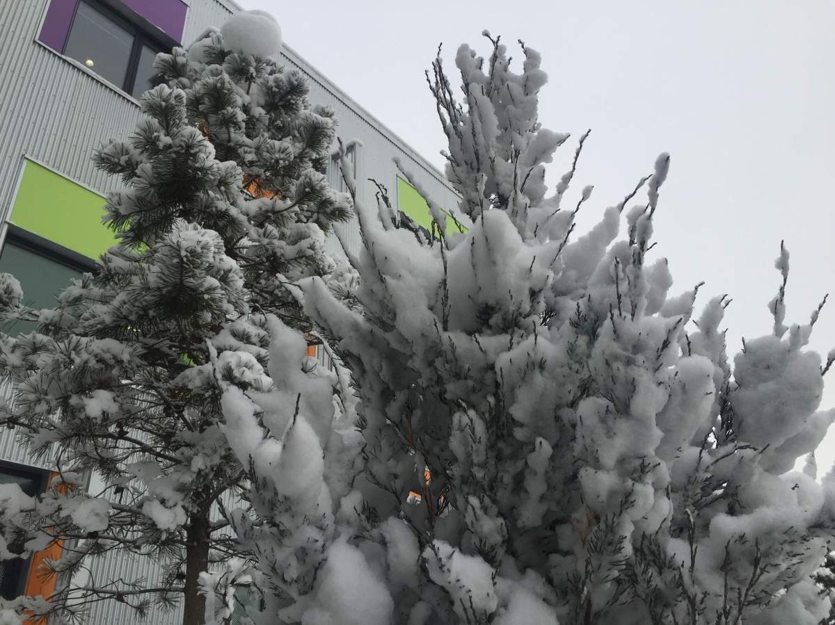
Across most of Metro Edmonton, people woke up to between three and five centimetres. But if you live near or downstream of the industrial sectors in east Edmonton and Fort Saskatchewan, it’s very likely you saw much more.
Areas in Fort Saskatchewan near the refineries picked up at least 10 centimetres, and areas near the Eastgate Business Park saw as much as 20 centimetres!
“There are many names for the event: refinery snow, plant snow and the even more technical industrial-enhanced snowfall,” Global Edmonton’s chief meteorologist Jesse Beyer explained.

Get daily National news
An Arctic high pressure system trapped cold air in the lower atmosphere through much of central Alberta. What’s known as a low level inversion also helped trap and stabilize that air.
The already high humidity levels and the introduction of warm, moisture-rich vapour from the nearby industrial plants resulted in a heavy snowfall event for areas nearby.
“A thin layer within the ‘snow growth region’ today was warmed and moistened by the stacks from the refinery, adding to the lift and enhancing snowfall totals downstream,” Beyer said.
Brian Proctor, a warning preparedness meteorologist with Environment Canada, said this was one of the most pronounced cases of refinery snow that he has seen in a long time.
“We saw the radar, thinking, ‘OK we should see some returns on radar showing some of this heavier snowfall occurring,'” Proctor explained, but no snowfall event was showing up, even though residents were reporting heavy snow on the east end.
By morning, the snowfall totals neared or reached warning level criteria in the Eastgate Business Park just off 50 Street, but there was no indication on the radar that it was actually happening through the night. Ironically, the Environment Canada offices are located in that area of the city.
“The radar was shooting over top of the snowfall occurring at low levels in the atmosphere,” Proctor continued, saying that by the time the Carvel weather station radar beams hit east Edmonton, the lowest they can read is 500 metres above ground.
“So really all of the snow was occurring in the lowest 500 metres of the atmosphere.”
Proctor and Beyer have both observed this interesting phenomena before.
“It’s not a new thing. Today it was pronounced, but I wouldn’t doubt that of the many times we’ve seen higher pockets of snowfall east of Edmonton, it was influenced by the refineries in some way,” Beyer said.


Comments
Want to discuss? Please read our Commenting Policy first.