
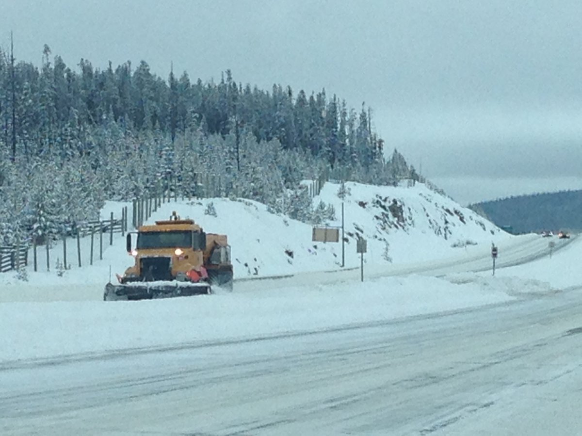
KELOWNA — What was a winter storm alert Friday is now a winter storm warning. Environment Canada has upgraded its special weather statement, warning snow, and a lot of it, is heading straight for the Southern Interior.

The heavy snow is forecast to start Sunday morning with 15 – 25 cm expected to fall in the Okanagan, Similkameen and Shuswap by Monday night and 25 cm or more on mountain passes including the Okanagan Connector, Coquihalla Highway and Allison Pass.
“Hazardous winter conditions are expected,” according to Environment Canada. “Consider postponing non-essential travel until conditions improve. Prepare for quickly changing and deteriorating travel conditions. Surfaces such as highways, roads, walkways and parking lots may become icy and slippery.”


If you must head out on the highways, it’s advised you have an emergency car kit.
Are you experiencing severe weather where you are? Tweet with the hashtag #BCStorm.
Comments