

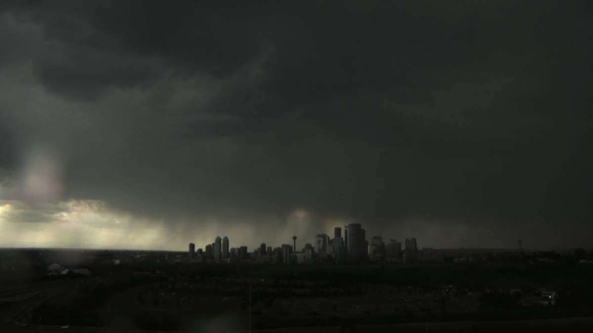
Another day of potentially dangerous weather is expected for much of Alberta on Wednesday.

Environment Canada has issued a series of weather watches and warnings for a large swath of the province, stretching from the far northwest of the province to just north of Lethbridge .
The national weather agency warns that slow moving thunderstorms are developing along the foothills and will move eastward throughout the day, creating the potential for heavy rain, hail large enough to cause injury or property damage and wind gusts strong enough to damage trees, buildings and overturn vehicles.

Environment Canada warns that severe storms also have the potential to produce funnel clouds or tornadoes and is urging anyone who hears thunder to seek shelter.
The latest information on all the weather watches and warnings across Alberta is available by visiting Environment Canada online.


Comments
Comments closed.
Due to the sensitive and/or legal subject matter of some of the content on globalnews.ca, we reserve the ability to disable comments from time to time.
Please see our Commenting Policy for more.