Highway 1 was closed through the Fraser Canyon on Monday due to flooding and debris on the road.

Drive BC says the highway is closed from west of Spences Bridge to Lytton with the next update expected at 8 a.m. Tuesday.
The closure came as the latest Pacific storm hits the South Coast with pockets of heavy rain, but has moved slightly to the west, so southern Vancouver Island and the Lower Mainland are much drier on Monday, Global BC meteorologist Mark Madryga said.
Rain will sweep back down into the Lower Mainland tonight and will become spotty on Tuesday with the next Pacific system expected to drop locally heavy rain on the South Coast on Wednesday.
The B.C. River Forecast Centre issued an upgraded flood warning for the Squamish River and tributaries including the Cheakamus River on Monday, in anticipation of the next wave of stormy weather.
The agency said late Monday that water levels in the Squamish River were rising with flows reaching somewhere between a two- and five-year return period at a gauge near Brackendale, just north of Squamish.
The forecast centre has maintained flood watches for the rest of the province’s South Coast, spanning all of Vancouver Island, the Sunshine Coast, the North Shore mountains and parts of the Fraser Valley, including the Sumas River.

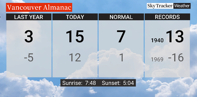
“In addition, temperatures have soared to what will likely be record-high values in some places today on the South Coast thanks to the subtropical flow over the region,” Madryga said.

Get breaking National news
In the Lower Mainland, highs will reach the mid-teens after low temperatures Monday morning.
Vancouver International Airport may set a new high today from 1940 if it reaches above 13 C, Madryga said, and Abbotsford may match a record set in 1960 of 16 C.

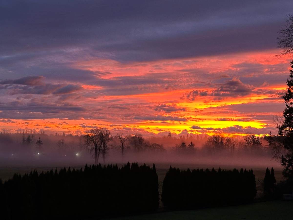
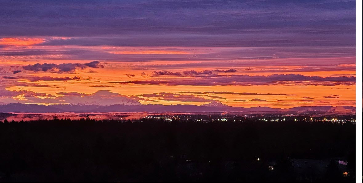
The weather did allow for a spectacular sunrise on Monday, however.

-With files from the Canadian Press
- ‘Crippling’: Sechelt could lose 300 temporary foreign workers, mayor says
- Details about the FIFA World Cup Fan Zone in Vancouver released
- ‘No reason to kill our parents’: Closing arguments heard in B.C. double murder trial
- Veteran paramedic testifies he couldn’t tell Myles Gray’s ethnicity due to bruising


Comments
Want to discuss? Please read our Commenting Policy first.