
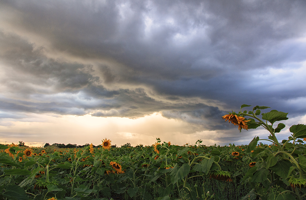
WINNIPEG — It’s going to be a hot one throughout southern Manitoba over the next couple of days. And with the heat comes high humidity and the threat of thunderstorms some of which could turn severe.

The southwestern corner of the province will see the highest potential of severe weather. That includes larger size hail, strong winds with gusts up to 100 kilometers an hour and lightning.
Environment Canada meteorologist Natalie Hasell told Global News that humidex levels in that region could reach 40 for a couple of hours this afternoon with the thunderstorm activity beginning late afternoon early evening.
For the rest of the south, including Winnipeg storms won’t likely pass through until the overnight hours. By that time, storms are not expected to be severe in nature but will still include possible hail, lightning and strong winds.
The low pressure system that is tracking eastward is slow moving in nature meaning conditions could stick around a bit longer than usual.
Winnipeg could still see showers into Friday morning but by the evening the Red River Valley will be clear of thunderstorm activity and it will be back to the sunshine and hot temperatures.
Humidex levels in Winnipeg could reach 35 C so it’s a good idea to remember to stay hydrated and fade some shade if you are going to be outside.


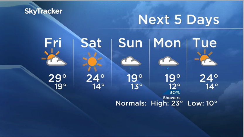
The forecast high is 29 Celsius and Friday looks to be just as hot with a high of 29 C.
As we look ahead to the weekend, another system will be moving in to bring some showers on Sunday.
Comments