

Watch above: Nicola Crosbie’s latest weather forecast for the Edmonton area

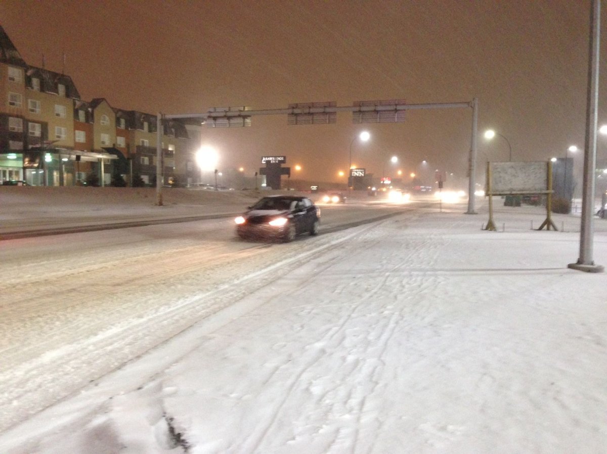
EDMONTON — A major winter storm hit Edmonton late Wednesday night and is expected to stick around for a couple days.
“Localized amounts could total more than 30 cm by the time the storm passes on Friday,” says Global Edmonton meteorologist Nicola Crosbie.
“This is our first significant snowfall of the season.”
A snowfall warning was issued Wednesday morning for the area. Thursday afternoon, a snow squall warning was issued near Calgary.
For a full list of all Alberta areas affected by Environment Canada’s warnings, click here.
The warning was issued as a result of a major pacific frontal system that is continuing to bring heavy snowfall to parts of central Alberta through Friday.
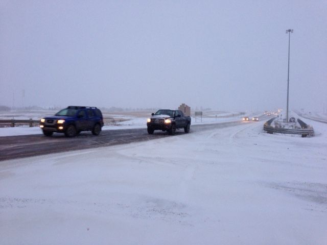
Edmonton’s roadway maintenance department had 120 pieces of snow clearing and road clearing equipment on roads at 4 p.m. Thursday. It has contacted 150 contractors to do overnight work.


Click here to find out when your neighbourhood is scheduled to be cleared.
“A low pushed into western Alberta very early Thursday morning,” explains Crosbie. “Snow has been steadily falling in Edmonton since about 2 a.m. Thursday.”
“Unofficial snowfall accumulations so far are 10 cm to 20 cm in Edmonton. The snow should ease off by midday Friday. Temperatures drop to -27 degrees Celsius by Saturday morning. Windchills will be close to -35 that morning.”
“The winds continue Thursday night causing blowing and drifting snow across roads and highways.”
READ MORE: RCMP issue rare Alberta travel advisory due to snowstorm
Edmonton police says there were 116 property damage collisions between 6:00 and 9 p.m. Thursday, five collisions involving an injury and 14 hit-and-run crashes.
WATCH: Edmonton road crews have been working all day to keep streets safe to drive on. Kent Morrison has the details.
Environment Canada is expecting snowfall amounts to be between 30 to 50 centimetres over the mountain parks, Hinton and Whitecourt regions. Grande Cache and the Icefields Parkway are expected to be the hardest-hit, with up to 75 centimetres of accumulation in the region.
Environment Canada reminds drivers to adjust their driving with changing road conditions, as visibility may be suddenly reduced in heavy snow.
Want your weather on the go? Download Global News’ Skytracker weather app for iPhone, iPad and Android.
Comments