
TORONTO – It just won’t end.

Another storm system is making its way from the U.S. and will affect northern Ontario — an area already plagued by almost a metre of snow in some areas — by Friday night.
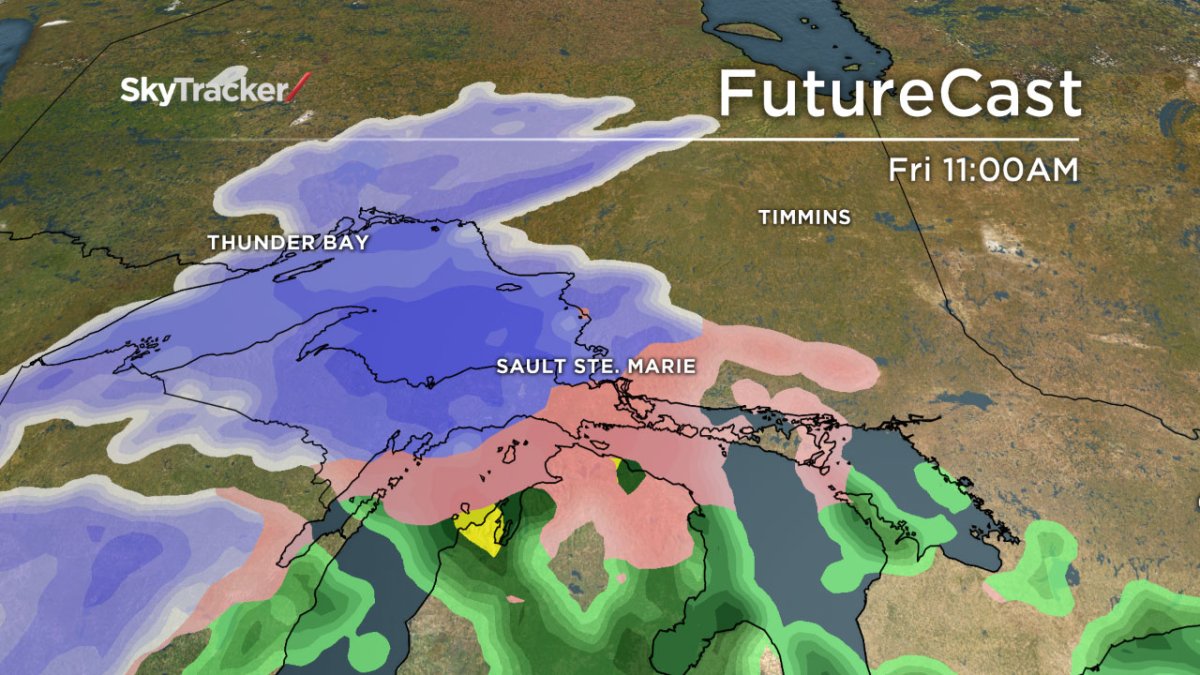
A low pressure system that started off in the southern plains in the United States is expected to intensify into a winter storm as it moves towards the Upper Great Lakes region.
Environment Canada has already issued a winter storm watch for several areas including Geraldton, Kapuskasing, Nipigon, Sault Ste. Marie, Timmins, and Wawa.
Some of the surrounding areas will likely receive about 10 to 15 cm of snow, just below the warning threshold of 15 cm in 12 hours, Environment Canada said.
Regions northwest of Lake Superior will be near the edge of the snowline, while regions north of Lake Huron and Georgian Bay may have freezing rain tonight into Friday.
Comments