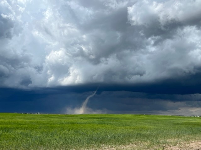
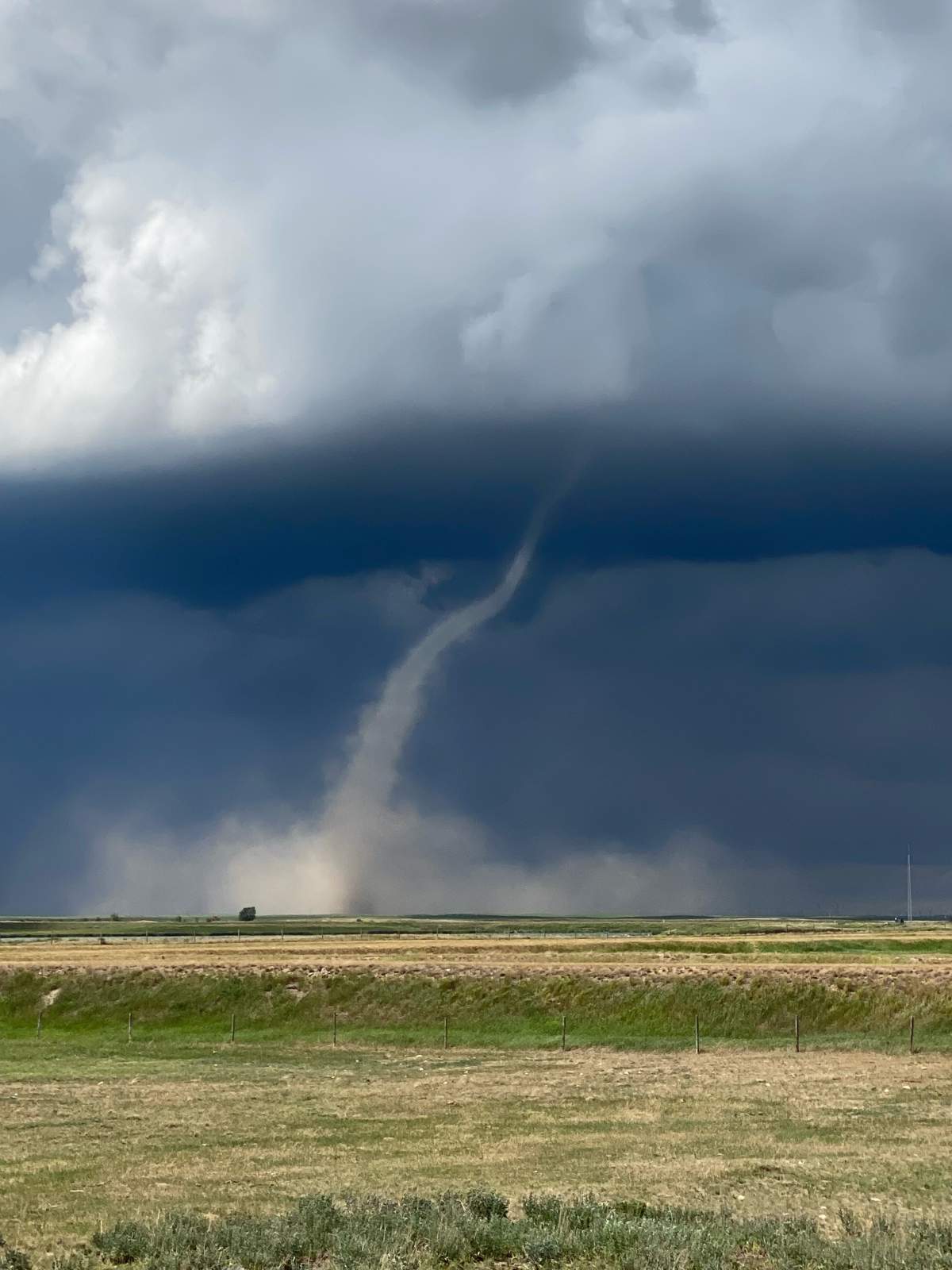
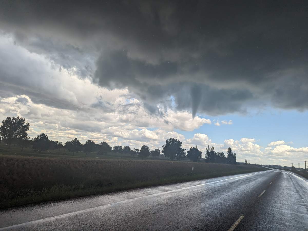
Ethan Giese was part of a crew building a house in Iron Springs, Alta., Wednesday afternoon when the weather took a turn.

“There was quite a large dust devil in a neighbouring field and we were kind of like, ‘Oh wow, look at it go,'” Giese said.
“It got taller and taller and before long we saw the clouds above swirling and a little landspout connected.”
Environment Canada issued a tornado warning for the area around 2:30 p.m. on Wednesday, around the time Giese and his co-workers watched multiple funnel clouds.
“The first one was the largest,” Giese said. “There was some thunder and lightning going on and there were many more (funnel clouds) coming and going, trying to pop up. We watched for about half an hour as they came and went.”
The storm activity continued across southern Alberta, with people reporting suspected tornadoes near Iron Springs, Enchant and Brooks.
Environment and Climate Change Canada says it’s now investigating just how many there were.

Get daily National news
“We’re able to confirm multiple tornadoes did occur yesterday between 2:30 p.m. and 7 p.m.,” said meteorologist Sara Hoffman. “The exact number is still in flux right now.”
According to Hoffman, tornadoes were confirmed in a stretch north of Lethbridge, extending to the southwest of Oyen, Alta.
The tornado activity and range of the storm even surprised storm chasers like Darren Howard.
“That would be unprecedented for my chasing and it’s quite unusual to observe,” Howard said.
Environment Canada says it’s possible both landspout and stronger supercell tornadoes occurred, but meteorologists are still working out their final count.
“It’s going to take some time to weed through,” Hoffman said. “It’s a pretty difficult case, with many tornadoes possible.”


Comments
Want to discuss? Please read our Commenting Policy first.