
The second week of May got to a wet start and the chance of showers lingered with the risk of a thunderstorm through Monday.

Temperatures were expected to, however, climb back to the upper teens with a chance of a few showers during the afternoon.
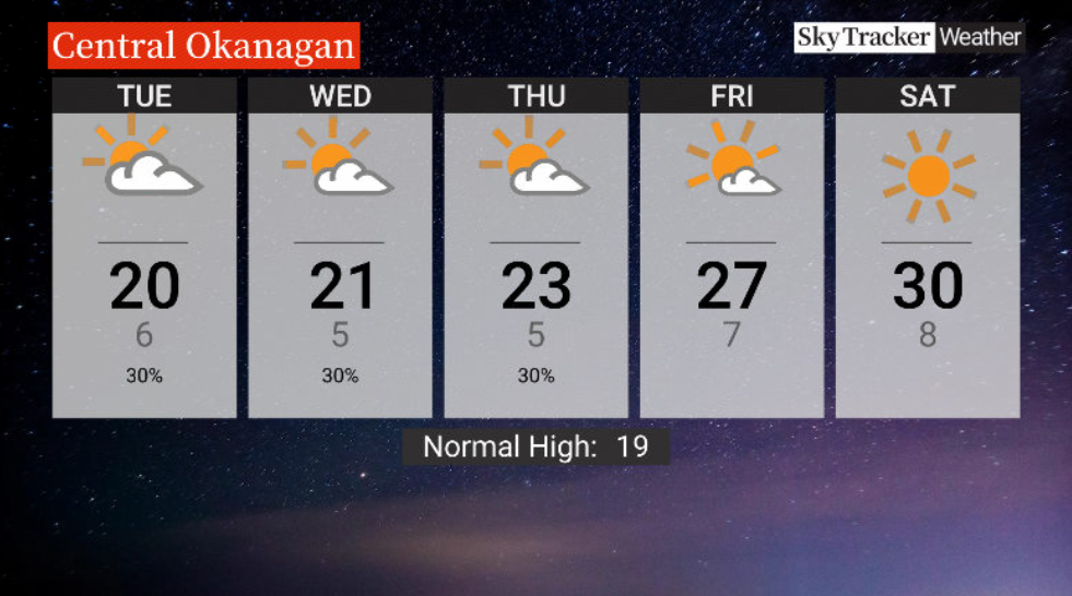
By Tuesday, 20 C heat could be cracked with clouds expected to linger before clearing to some sunny breaks.
A mix of sun and cloud are expected to return on Wednesday with a slight chance of a late-day storm as daytime highs settle in the low 20s C.
Afternoon temperatures clamber into the mid-20s C to finish the week with increasing sunshine.
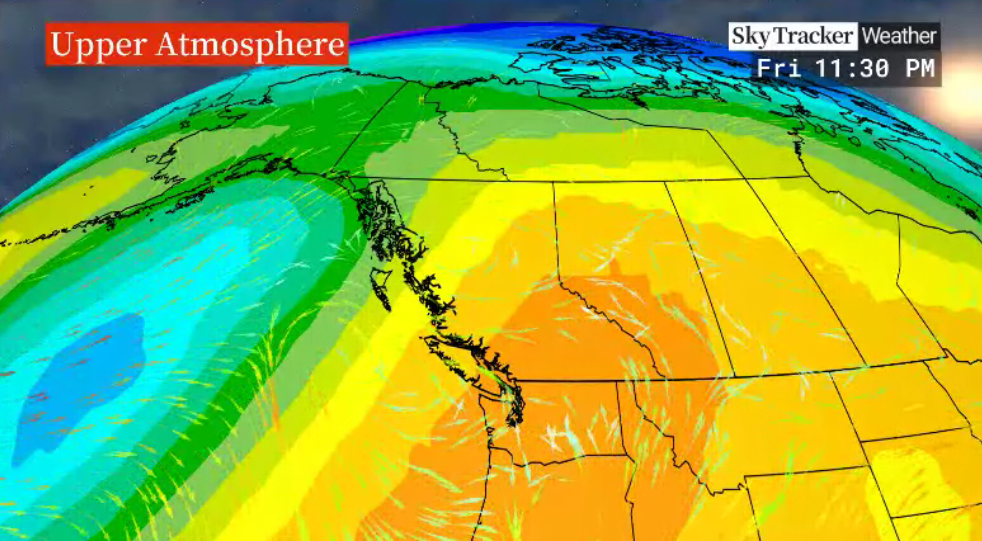
Mother’s Day may get hot with 30 C weather projected for the weekend as an upper ridge of high pressure brings back beautiful blue skies and sunshine for Mom.


For weather on the go download the Global News SkyTracker Weather App for iPhone, iPad or Android.
- Small grocers, co-ops receiving boost from Loblaw boycott: ‘A lot of anger’
- B.C. man losing vision needs to find home for treasured book collection
- U.K. bans generic passwords over cybersecurity concerns. Should Canada be next?
- More foreign interference action coming after inquiry report, India arrests: LeBlanc
Comments