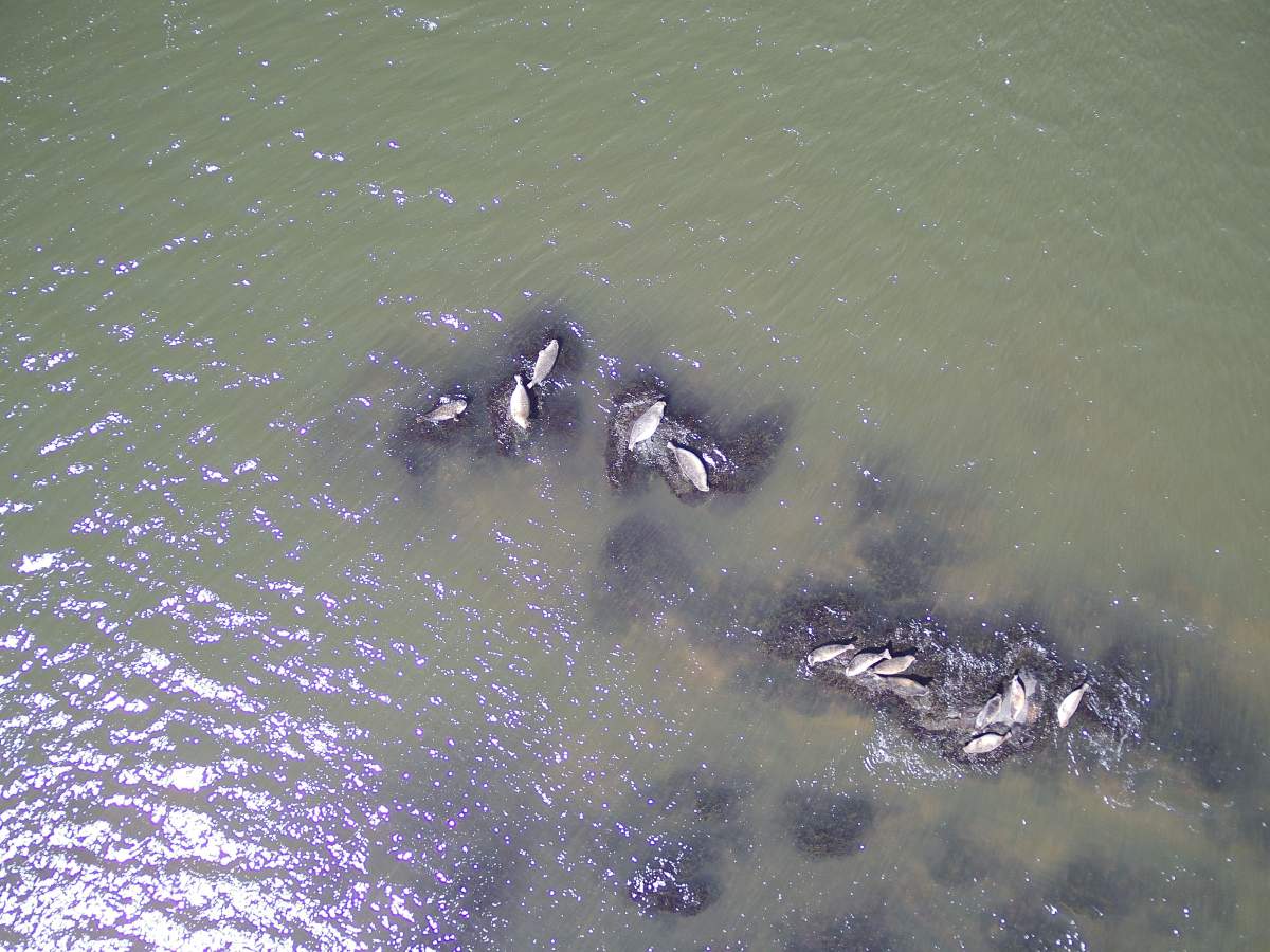
From tracking the movements of a potential oil spill to observing the patterns of the region’s flipper-footed inhabitants, new research published on the Saint John Harbour covers a wide range of topics.

Under the Coastal Environmental Baseline Program, 12 projects were completed along the Port of Saint John to characterize the current state of the ecosystem. The data collected was recently made public online.
“This is going to create the baseline, or a snapshot in time of what the Saint John Harbour is like right now, so we have something to compare back to in the future because you can’t really monitor change if you don’t have a point to start from,” said Bethany Reinhart, the acting project lead for the Maritimes region.
Created in 2017 under the Oceans Protection Plan, $50.8 million was established to conduct studies over five years in six coastal communities known for high vessel traffic.
Locations include Port of Vancouver, B.C., Port of Prince Rupert, B.C., St. Lawrence Estuary, Que., Port of Saint John, N.B., Placentia Bay, Nfld., and Iqaluit, Nunavut.
Saint John, known for a heavy industry presence and one of the nation’s busiest ports, made for an ideal location, according to Reinhart.
“There’s fishing activity, there’s recreational uses, and there’s the municipality inputs as well into the harbour, and it’s also understudied. There were a lot of gaps in the data, and so the coastal environmental baseline program wanted to identify those and try to fill in those gaps,” Reinhart said.
One of the 12 projects completed in the Port City was the characterization of harbour seals, conducted by ACAP Saint John, an environmental non-profit.
“Over the last three years we’ve been asking citizens to document any seals that they may have seen in their travels. We had over 100 submissions, and most of them were here in the Saint John Harbour,” said Shauna Sands, the conservation coordinator with ACAP Saint John.
On a bi-weekly basis, staff observed the seals hauled out on rocks to sunbathe during low tide in five sites along the Saint John Harbour and one location in the Saint John River.

Get daily National news
Using data collected by researchers from the University of New Brunswick in the 1990s, Sands stated they can now compare statistics and track trends.
“So, we were able to actually study the seals all year round, whereas in the 1990s, the seals actually migrated in the winter, so we’re still seeing seals 12 months out of the year,” She noted.
Sands said they hope to tag a seal this fall to better track their movement.

Other projects conducted under the program aimed to use fish harvesters’ knowledge to fill some gaps in oceanographic data.
“The Fundy North Fishermen’s Association, they’re collecting information on surface currents in the Bay of Fundy, so their data is going to a model that can predict, say, if there’s an oil spill, where that oil might travel over the currents,” Reinhart said.
Overall, she noted, the projects are not meant to weigh the “good versus bad” in the Saint John Harbour, only track the current state of the harbour.
“This baseline data is hopefully going to be used for conservation efforts and management decisions. Now that the data has already been collected… we can start to look at bringing it together and looking at how we can make a cohesive baseline of information,” Reinhart said.


Comments
Want to discuss? Please read our Commenting Policy first.