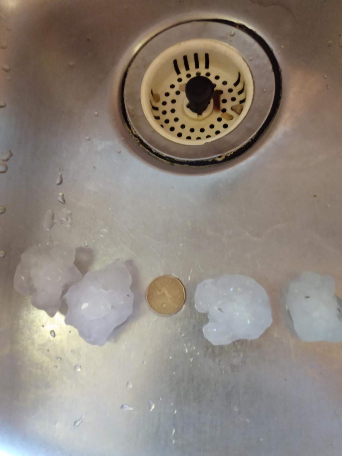
There have been no reports of damage or injury after a tornado touched down north of Winnipeg on Tuesday evening, but an Environment Canada meteorologist says it was a significant storm for the area.

“We had a thunderstorm kind of roll through the Interlake region yesterday evening, and with that, it actually spawned a tornado just east of Teulon,” James Colangelo told 680 CJOB’s The Start on Wednesday.
“There was also a report of golf ball-sized hail in Komarno, Man., just north of there. Not a friendly storm.”
Colangelo said it’s too soon to suggest what rating the tornado might receive, but that will be coming shortly.
Tornado intensity is rated on the Fujita scale — from an F0 twister causing light damage to trees and buildings, all the way to an F5, which causes serious destruction.
Manitoba was home to Canada’s only recorded F5 tornado, when a storm ripped through the town of Elie in 2007.
Drenna Campbell, who lives north of Teulon, told 680 CJOB she experienced hail that was “at least” golf ball-sized Tuesday evening, causing damage to her vehicles and leaving a lot of debris in the area.

Get daily National news
“Just after 6 p.m., it started to all of a sudden hail pretty bad,” she said.
“I went to the window, looked out, it was just white. You could see, on the patio, huge hail balls, so I just grabbed my raincoat and ran out right away.
“Your first intuition is to look at your vehicle. I kind of did a little angry dance and yelled some words I was raised not to say when I saw the damage.”
- Calgary hit by unexpected blast of spring snow, causing dozens of crashes
- False spring strikes again: Saskatchewan prepares for incoming winter weather
- Albertans’ interest in alternative forms of travel growing as fuel prices spike
- Massive avalanche closes Alberta’s Icefields Parkway until at least Saturday
Environment Canada is encouraging Manitobans to stay safe during extreme weather.
If you’re caught out in a storm like Tuesday’s, Colangelo said, stay away from cars, mobile homes, or similar structures and vehicles.
“If you happen to be out driving and you don’t have any shelter to go to, and you caught in the storm, … if you see the tornado, you want to get out of your car and go to a low-lying area, preferably a ditch.”


Comments
Want to discuss? Please read our Commenting Policy first.