

Environment Canada says a “parade of storms” is going to make landfall over B.C. in the coming days bringing a lot of rain to many parts of the province.

Environment and Climate Change Canada’s warning preparedness meteorologist, Armel Castellan, said Monday while there will be rain over the next few days, the next storm of concern is Thursday.
“The forecast going forward for the South Coast is very wet,” Castellan said.

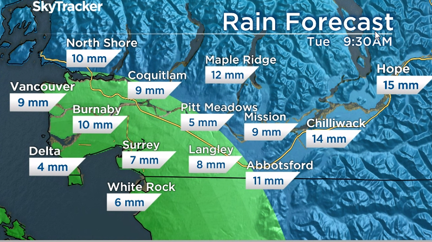
He said about five to 10 millimetres is expected to fall Monday and into Tuesday, which will then be followed by a small break.
However, Thursday’s system will be another “atmospheric river”, he said, adding it will be tapping into some subtropical moisture and heat.

Get daily National news
“It’s going to bring freezing levels up to perhaps 2,500 metres, so fairly high,” Castellan said. “There would be some snowmelt with this moisture. We’re talking about 40 to 70 millmetres in the Fraser Valley, potentially upwards of 100 millimetres in the North Shore Mountains around Howe Sound. So please keep in mind that these are non-negligible totals and that they are likely to exacerbate the vulnerabilities on the ground currently.”
This will be followed by another break in the weather but another system is set to move through Saturday afternoon.
Castellan said it will be another atmospheric river and while it will not bring as much moisture as the system last week, it will be an active storm.

The main concern is that we are heading back into a period of a parade of storms with very little break expected. This, on top of 200 per cent more above-average precipitation we’ve seen in many parts of the province already this fall.


Castellan said “we are bracing for what will probably be a record-breaking fall”.
“We tend to see 20 to 30 atmospheric rivers on average throughout the year from October to spring but this has been a particularly extraordinary fall to date.”
Global BC meteorologist Mark Madryga said Monday morning, snow is also a concern coming up.
Snow is on the way for mountains along the Coquihalla with another 25 to 30 centimetres expected. With rising freezing levels again on Thursday to 2,500 metres and again over the weekend, heavy rain fall on this snow is a concern as much of it will melt.
Read more: New flood concerns as next atmospheric river makes landfall on B.C. north, central coasts
The B.C. River Forecast Centre has maintained a flood watch for the North Coast region.
-with files from Kristi Gordon
Comments
Want to discuss? Please read our Commenting Policy first.