
Kelowna broke a record Sunday with temperatures soaring to 38 degrees, which, coupled with wind gusts upwards of 60 km/h into the night, made for a very difficult fire fight.

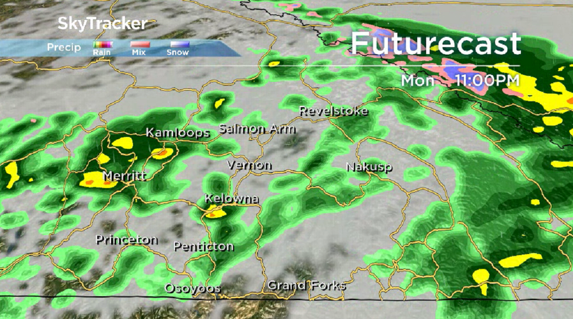
Relief is finally on the way on Monday with showers sliding in and temperatures settling into the mid-20s.
Winds remain breezy during the day from the southwest before transitioning to northeasterly overnight as showers continue to slide through
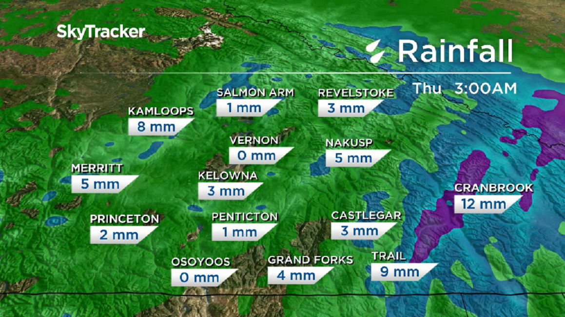
Much cooler temperatures will suppress fire activity on Tuesday with a daytime high struggling to get out of the teens and into the 20s under mostly cloudy skies with a chance of early day sprinkles.
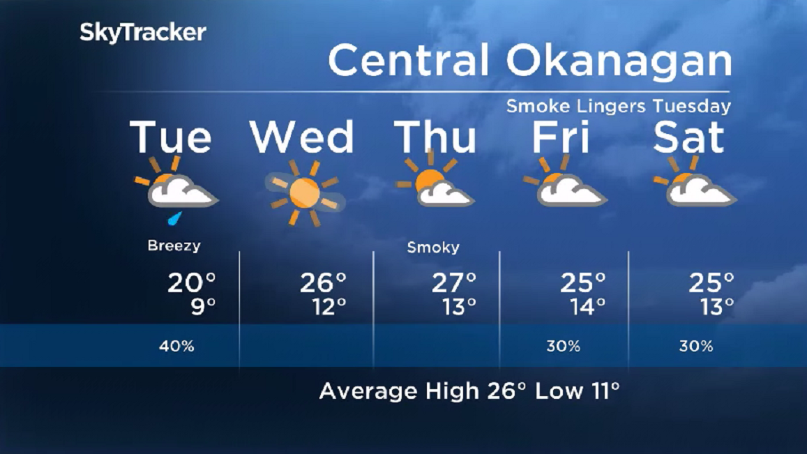
Temperatures should spring back into the mid-20s in the afternoon before soaring into the upper 20s to finish the week under mostly sunny skies Wednesday, partly cloudy conditions Thursday and mostly cloudy skies on Friday.


Conditions cool back from the mid-20s on Saturday back into the low 20s Sunday under mostly cloudy skies with a chance of a few showers at times.
For weather on the go download the Global News SkyTracker Weather App for iPhone, iPad or Android.
Comments