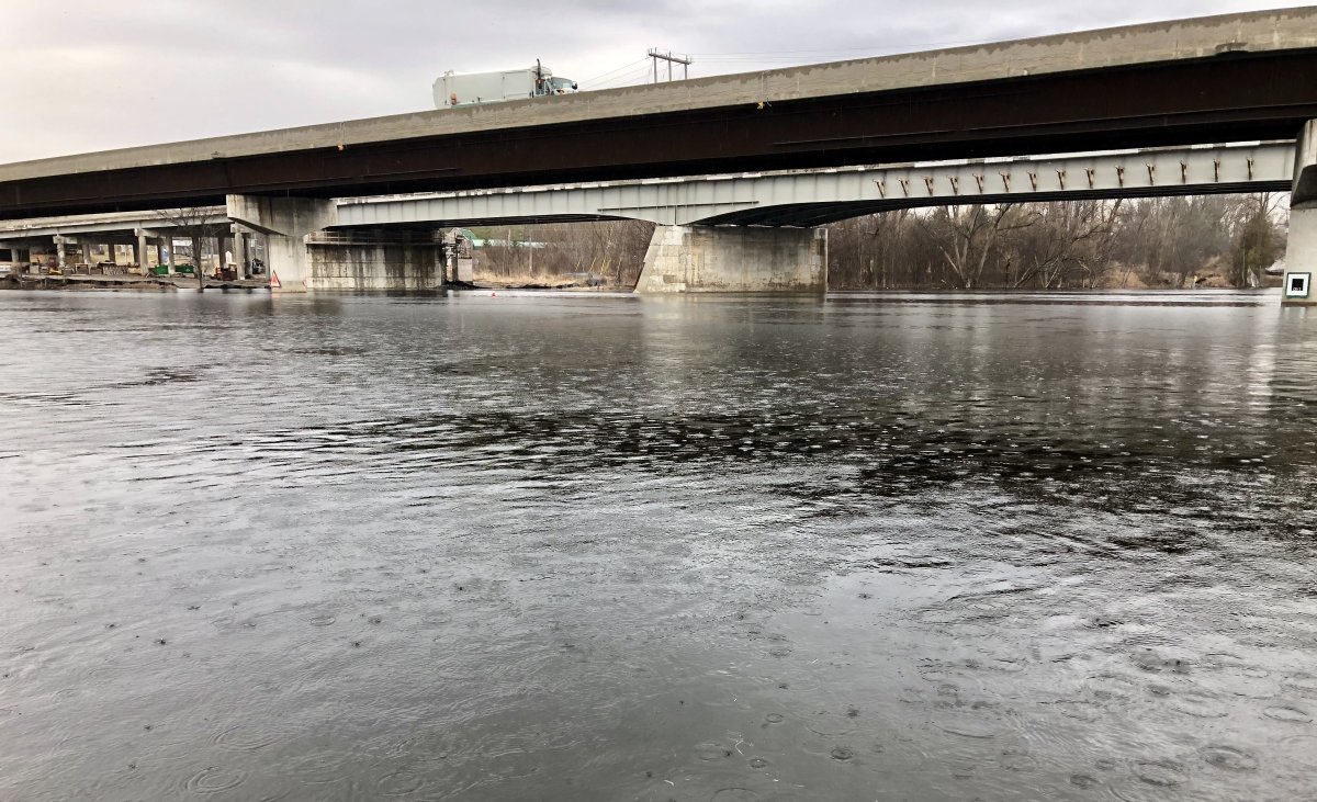
A “water safety statement” has been issued as mild weather this week is expected to increase water flows in the Peterborough area.

On Tuesday morning, Otonabee Conservation issued the statement which means high flows, ice or other factors could be dangerous, however, flooding is not expected in the watershed.
The watershed encompasses Peterborough, City of Kawartha Lakes, most of Peterborough County’s municipalities, and the Municipality of Trent Hills and includes the Otonabee, Indian and Ouse rivers, and Baxter, Cavan, Jackson, Miller and Squirrel creeks.
“Our local rivers and creeks are currently flowing at average levels for this time of year,” said Neil MacFarlane, the regional conservation authority’s flood forecasting and warning duty officer.
He said a March 1 snow survey indicated approximately 29 centimetres of snowpack with 68 mm of snow water equivalent and frozen ground conditions.
The snowpack has degraded over the past week with warmer temperatures, he noted. The melting is expected to continue with seasonal temperatures forecasted for the region over the next four days with nighttime lows dipping below 0 C.

Get daily National news
Wednesday and Thursday may also see up to 10 top 15 mm of precipitation.
“The combination of warm daytime temperatures, snowmelt and rain will result in run-off to lakes, rivers, creeks and wetlands, causing higher than normal water levels and flows, but no flooding,” MacFarlane said.
“Under these conditions, all local rivers, creeks, ditches, and lakes should be considered extremely dangerous. Riverbanks are slippery, unsafe and could be undercut. Stream currents are strong, and temperatures dangerously cold. Roadside ditches, wetlands and other low-lying areas will experience ponding. Ice cover, where it exists, is extremely hazardous.”
The watershed conditions statement will remain in effect until Monday, March 15.
Water levels can be monitored online at:
- Trent-Severn Waterway’s Water Management InfoNet:
- Water Survey of Canada Real-Time Hydrometric data:
- Otonabee Region Conservation Authority precipitation and water level data


Comments