


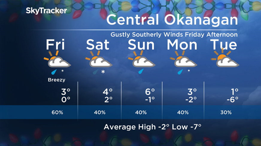
Another round of mixed precipitation will arrive on Thursday, as temperatures make their way up to 4 degrees.

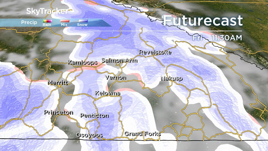
And the wave of systems steadily slamming into the Interior will continue on Friday, with mostly cloudy skies starting the day, followed by an increased risk of rain and snow.
The mercury will once again return to around 3 C.
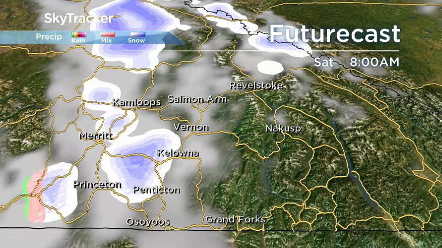
For the weekend, the forecast will feature a slightly lower chance of mixed precipitation under partly to mostly cloudy skies.
Daytime highs both Saturday and Sunday will be in the 4 to 6 C range.

Get daily National news
The week before Christmas kicks off with a possible mix of rain and snow on Monday before skies clear and cooler conditions settle in by mid-week.


For weather on the go download the Global News SkyTracker Weather App for iPhone, iPad or Android.


Comments
Want to discuss? Please read our Commenting Policy first.