Ottawa residents’ interests in cycling, gardening and other outdoor activities spiked in the first eight months of the novel coronavirus pandemic, according to recently released data from Google Maps.

The search giant’s Maps team released data Tuesday showing year-over-year changes in Ottawa residents’ searches and travel activity from March to October 2020.
Among the starkest drops was a decline in public transit interest, with searches for bus routes and other transit options in Ottawa down 52 per cent from the same period in 2019.
Inputs for walking directions also decreased by 23 per cent during the pandemic, while searches for cycling routes spiked 41 per cent year-over-year, according to the report.
Google Maps data also signalled a rising interest for local shopping across all major cities in Canada.
Perhaps unsurprisingly, many Ottawans were also interested in outdoor activities as the weather warmed in May.
That month, searches for home and garden stores in Ottawa jumped 83 per cent year-over-year.

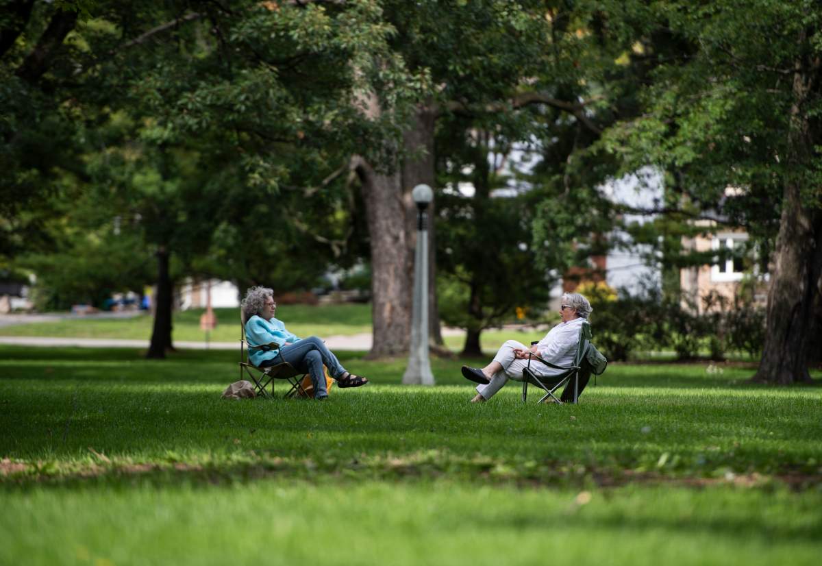
Searches for outdoor locations such as parks and hiking trails were also trending 83 per cent higher in May.

Get weekly health news
Among the top outdoor search inquiries locally were Mer Bleue Bog, Pink Lake and Gatineau Park.
Google Maps features also track how busy locations tend to be based on the time and day of the week, a question of increasing concern amid physical distancing directives from local public health officials.
The report says pharmacies in Ottawa are busiest on Thursdays and Fridays between noon and 3 p.m. Conversely, the best time to go is any day between 9 a.m. and 10 a.m.
Cafes, meanwhile, are busiest from 10 a.m. to 4 p.m. on Saturdays, Google Maps trends show. The least busy times for cafes are late afternoons, Monday through Wednesday.
Grocery stores are least busy at 9 a.m. and busiest on Saturday afternoons, according to the data.
The level of crowds in Ottawa parks tends to be similar to grocery stores, with fewer people out before 9 a.m. and the most out on Saturday afternoon.
Google Maps will soon begin tracking crowdedness on public transit in real-time, according to a release, in an effort to help users plan their travel to avoid the busiest routes.


Comments
Want to discuss? Please read our Commenting Policy first.