Sunshine returned to the region on Thursday, and temperatures expected to reach 6 C in the afternoon — the calm before a snowstorm slides in Thursday night.

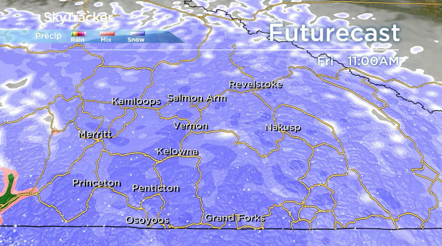
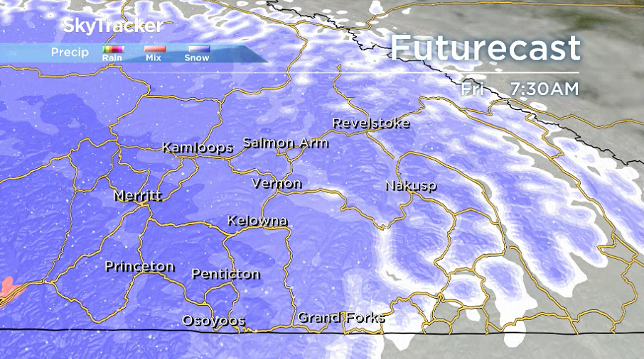
Snow is expected to begin early Friday morning, as a powerful, low-pressure system pushes into B.C.’s Interior.
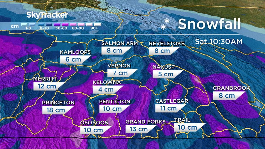
Once the first few centimetres melt on contact with the warm ground, accumulations will begin to mound up, with 3 to 10 centimetres possible in the valley bottom.
The plunging freezing levels are due to the low-pressure system, which is over Washington state as it passes by.
As a result, Arctic air from a high-pressure area in northern B.C. will cool temperatures enough for snow to fall.

Get breaking National news
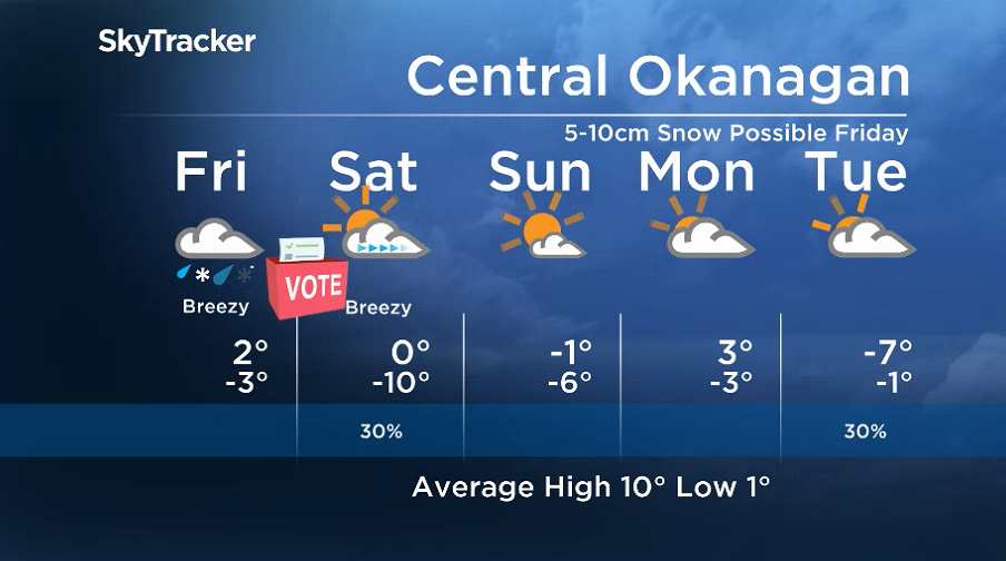
The valley bottom may see some rain mixing in during the day as daytime heating warms temperatures up to around 2 C, along with a gusty northerly wind.
Precipitation will ease by late Friday night, with lingering cloud for Election Day on Saturday.
Sunshine will return in the afternoon as skies clear and temperatures attempt to make it just above the freezing mark.
Mostly sunny skies return on Sunday, but the morning will start on a cool note, with the mercury plunging to -10 in the morning before only making it up to 0 in the afternoon.
Mostly cloudy skies return to start the final week of October, with an afternoon high rebounding to a few degrees above freezing.
For weather on the go download the Global News SkyTracker Weather App for iPhone, iPad or Android.


Comments