
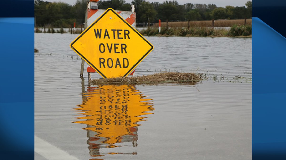
A weekend storm that brought heavy rain across eastern parts of Canada and the United States has led to two Ontario counties along the Grand River keeping their flood warnings in effect.

On Monday, both Brant and Haldimand counties issued statements saying water levels in many areas of the river have peaked.
The Grand River Conservation Authority believes it will be a week before the river recedes in some areas, particularly in the watershed south of Cambridge.
“This event produced the highest January rainfall on record for this part of the province and resulted in substantial flooding in a number of communities in the northern and central portions of the watershed,” the agency said in a statement on Sunday.
“Flows in the southern Grand River watershed, south of Cambridge, will continue to increase through the weekend and result in significant flooding in some areas before receding early next week.”
Meanwhile, Haldimand County says the river has peaked in some smaller communities in Caledonia, York and Cayuga.
“Haldimand County emergency services will be preparing for the closure of River Drive, Sims Lock Road, Grand Sports Drive. Conway Park will be notified, and this area will be closely monitored.”

Get daily National news
Flows in the Grand River near Dunville are also expected to peak on Tuesday. The municipality is suggesting residents prepare for a flooding event.


Some roads in Caledonia and Cayuga are temporarily closed, including Forfar Street East and Ouse Street at Chippewa Street.
Both agencies are advising residents to stay away from watercourses, shorelines and structures such as bridges, culverts, dams and break walls, as they should be considered “dangerous” areas at this time.
The Hamilton Conservation Authority (HCA) issued a flood warning for Middle Spencer Creek on Monday, saying the area received 50 to 70 millimetres of rain on Saturday and Sunday.
Water levels in the creek and Christie Lake reservoir are expected to rise before receding later this week.
- ‘Alarming trend’ of more international students claiming asylum: minister
- TD Bank moves to seize home of Russian-Canadian jailed for smuggling tech to Kremlin
- Why B.C. election could serve as a ‘trial run’ for next federal campaign
- After controversial directive, Quebec now says anglophones have right to English health services


Comments