
Minus nine is what it felt like early Monday with wind chill as temperatures dove back to -5 to start the third week of December.

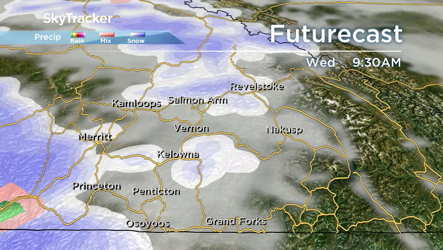
Cloudy skies prevail with pockets of snow sweeping through during the afternoon with a few centimetres possible as the mercury climbs toward the freezing mark.
Precipitation eases into the evening as clouds linger and conditions cool back below freezing with wind chills approaching minus double digits into early Tuesday.

Get breaking National news
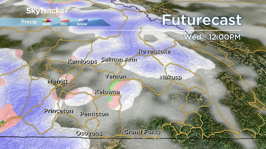
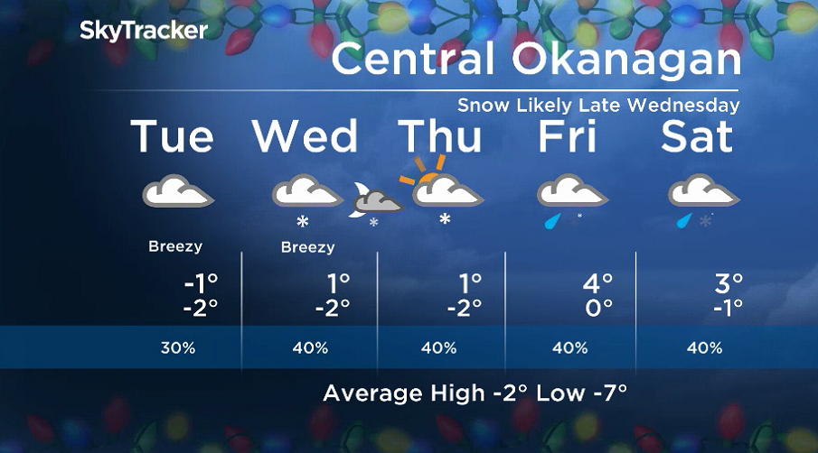
Another cloudy day is on the way for Tuesday and Wednesday with afternoon highs flirting with the freezing mark and a chance of flurries changing to showers on Wednesday.


More snow is possible early Thursday before some clearing starts to take place as the mercury makes it back above freezing.
Positive temperatures return in the afternoon and mid-positive single digits are possible Friday and into the weekend as the risk of rain and snow returns.
For weather on the go download the Global News SkyTracker Weather App for iPhone, iPad or Android.
Comments
Want to discuss? Please read our Commenting Policy first.