






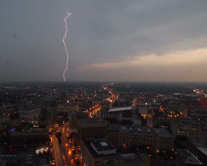
Update: All watches and warning were dropped late Thursday night.

Southeastern Manitoba, including the city of Winnipeg, is under a tornado watch.
Environment and Climate Change Canada said severe thunderstorms are expected to develop over southern Manitoba and progress eastward starting late Thursday afternoon.
While the main hazards of the storm will include large hail, damaging winds and heavy downpours, isolated tornadoes are also a possibility into the early evening.
“We’re looking a developing situation. The ingredients should come together later today, so for Winnipeg, the chance of showers and thunderstorms, risk of severe thunderstorms starts as early as 4:00, goes until 9:00… so it’s a wait and see kind of game right now,” Environment and Climate Change Canada meteorologist Natalie Hasell told Global News.
- Storm to bring up to 60 millimetres of rain to parts of Ontario, Quebec
- A ferocious Hurricane Simon nears Mexico with 155 mph winds and flooding fears
- Simon strengthens into a Category 4 hurricane as it approaches Mexico’s coast
- Isaias weakens but flash flooding threat persist as hundred of thousands grapple with power outages



Get daily National news
“Thunderstorms are dangerous even when they’re not severe… and yes, today, we’re also looking at a risk of tornadoes.”
Alerts have been issued for the following communities:
- Bissett
- Victoria Beach
- Nopiming Provincial Park
- Pine Falls
- Winnipeg
- Dugald
- Beausejour
- Grand Beach
- Morden
- Winkler
- Altona
- Morris
- Portage la Prairie
- Headingley
- Brunkild
- Carman
- Selkirk
- Gimli
- Stonewall
- Woodlands
- Sprague
- Northwest Angle Provincial Forest
- Steinbach
- St. Adolphe
- Emerson
- Vita
- Richer
- Whiteshell
- Lac du Bonnet
- Pinawa
WATCH: Lightning sparks grass fire in Winnipeg



Comments
Want to discuss? Please read our Commenting Policy first.