

Weather south of the Manitoba border have local flood expert recalculating their forecasts.

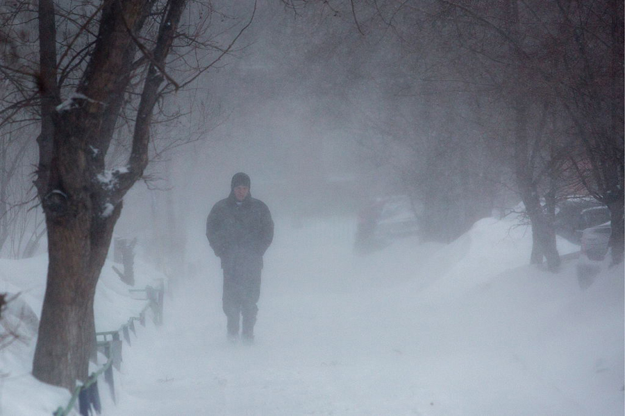
North Dakotans are expecting another extreme blizzard this week, which may add another foot to the foot they already got last weekend.
Andrew Moore, meteorologist with the National Weather Service in Grand Forks, told 680 CJOB the region will see a significant snowfall, which means, in turn, more water.
“I wish I had some better news, but we’re expecting quite a bit of snow with this upcoming system,” said Moore.
“Closer to our area, near Grand Forks and the Canadian border, it’ll be close to 6-10 inches of snow. Between Wednesday night and Thursday is when we’re expecting the most snow.
“It will tend to add more water to the system. In terms of the liquid equivalent we’re seeing, it’s going to be pretty similar to what we saw this past weekend.”
The good news, said Moore, is that the upcoming snowstorm was expected and is part of the National Weather Service’s river forecast, so the extra water is in the plan for flood preparations.
“We’re still going to have to wait and see how much snow and how much liquid we see out of this system,” he said.


“It just seems like the winter has just enveloped the U.S. It’s definitely a wild winter for sure, and for us up here, it seems like it’s never going to end.”
The Province has told Global News they are preparing another flood forecast to be released shortly.
WATCH: Manitoba flood forecast warns of potential ice jams
_VAF0G82F.jpg?w=1040&quality=70&strip=all)
Comments