

A snowfall warning is in place for parts of B.C. on Tuesday, with some areas expecting bursts of heavy snow Tuesday afternoon and evening.

The snowfall warning has been issued by Environment Canada for the following regions:
- Trans-Canada Highway – Eagle Pass to Rogers Pass
- East Kootenay
- Elk Valley
Between 20 and 30 centimetres of snow is expected to fall in these areas by Tuesday evening.
This is due to arctic air coming in from the east and combining with a low-pressure system.
The snow is expected to end overnight.
Global BC meteorologist Mark Madryga says, “As the weather system continues moving to the southeast, colder air will sweep into the South Coast and the Southwest Interior, leading to snowfall in all the mountain highways in the B.C. Southern Interior, including the Coquihalla and Okanagan Connector.”
Heavy bands of snow will develop later Tuesday as a low-pressure system from the coast clashes with a cold front in the interior.
Madryga says between five and 10 centimetres of snow is expected to fall.
The snow is also hitting Whistler on Tuesday afternoon.
There is no snow forecast for Metro Vancouver but as the rain clears, residents can expect a chilly evening.

Get breaking National news
Madryga says temperatures will fall to just 4 C in the south and below freezing in the interior.
“By morning, all but the southeast part of southern B.C. will be much drier as high pressure builds for a couple of days,” Madryga adds.
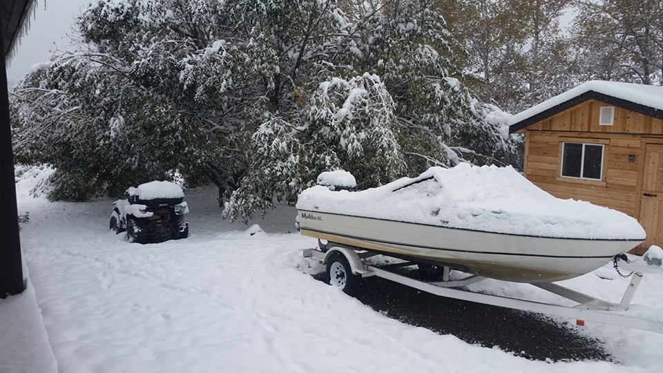
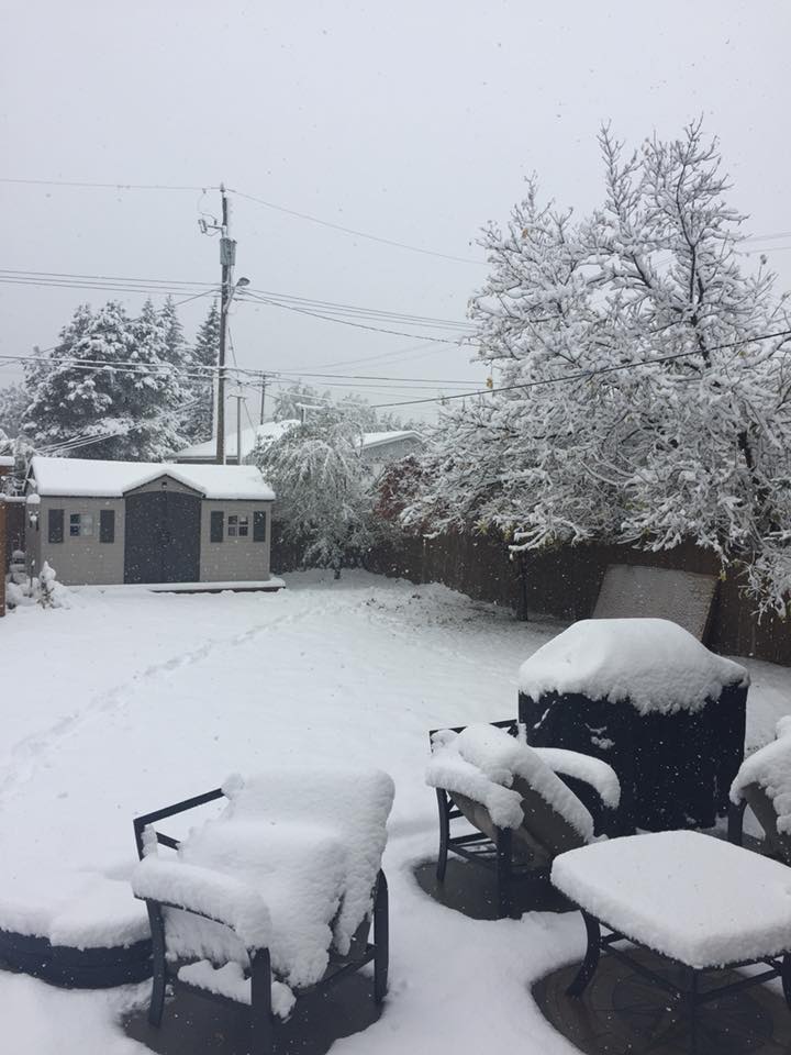
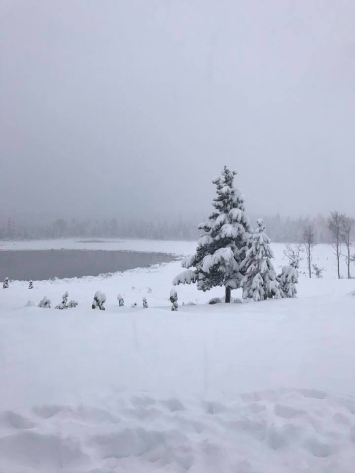
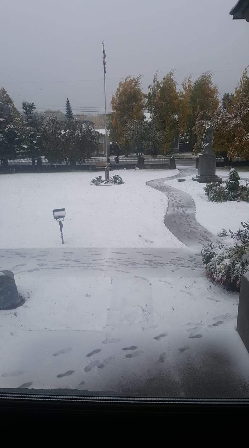
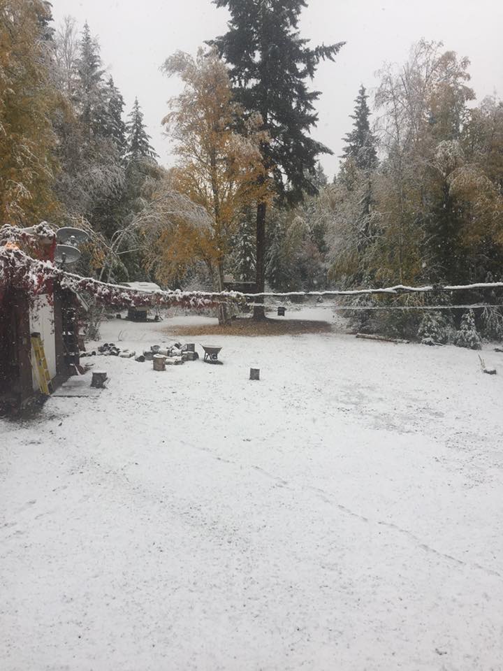
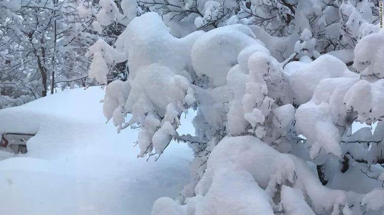
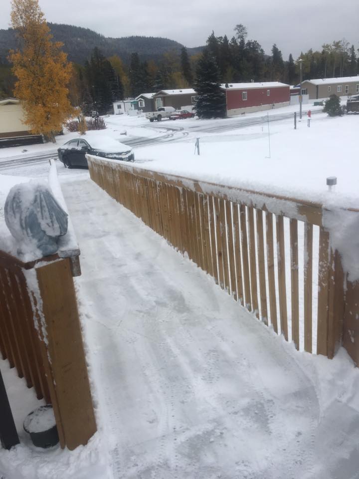
PHOTOS: Snow around B.C. on Oct. 2


Comments
Want to discuss? Please read our Commenting Policy first.