

Heavy snow and treacherous travel conditions wreak havoc across central Saskatchewan.

Snowfall Warning
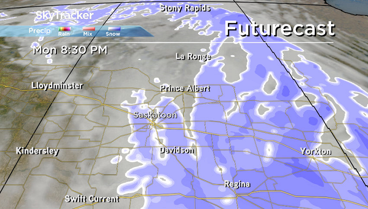
Saskatoon and much of central Saskatchewan spend the entire weekend under a snowfall warning, which continued into the work week.
24.1 centimetres of snow fell in the city over the weekend up until 7 a.m. Monday morning with even higher amounts in the Prince Albert area, where 32.5 centimetres was recorded.
A whopping 73.7 centimetres was reported on the ground in the Holbein area west of Prince Albert.
The warning remains in effect for an additional five to 15 centimetres expected on top of amounts that have already fallen, continuing to create treacherous travel conditions across the region.
Numerous highway closures remained in place on most roads heading into and out of Regina with travel not recommended on a number of area highways as well as flight delays and cancellations at the Saskatoon airport.
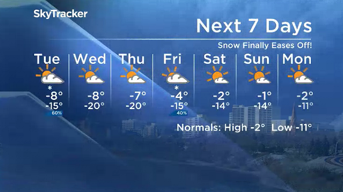
Saskatoon Forecast

Get daily National news
Monday
After two blasts of snow over the weekend lasted into Monday morning, winds finally easing back, improving the visibility factor.
Temperatures sat around -11 all morning with wind chills in the minus teens with light snow continuing into the afternoon as we warm up just into minus single digits for a daytime high.


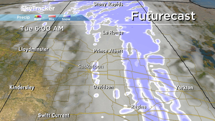
Monday Night
A few more centimetres of snow is expected Monday evening before it starts to ease overnight as we cool back into minus double digits.
Tuesday
It’ll feel close to the -20s with wind chill as you head out Tuesday morning with a little more light snow to shovel and brush off your car in the morning.
There may still be a few flurries falling during the morning before they ease during the day and clouds clear out into the evening as we warm up to an afternoon high just into minus single digits.
Wednesday-Friday
High pressure helps bring us back into some sunshine Wednesday and Thursday before another trough swings in with clouds and another chance of snow to finish off the first full week of March on Friday.
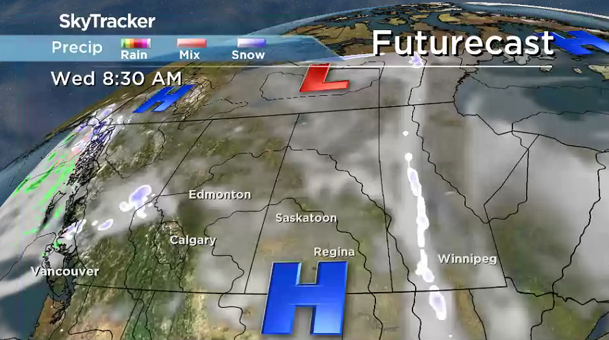
Daytime highs will aim to make it into minus single digits each day, with an afternoon high a few degrees warmer on Friday.
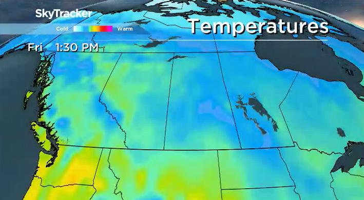
Weekend Outlook
An upper ridge will finally bring us into some warmer air this weekend, pushing back in the sunshine and pumping up daytime highs toward the freezing mark both days.
The March 5 Your Saskatchewan photo was taken near Jans Bay by Steven Lariviere:

Saskatoon weather outlook is your source for Saskatoon’s most accurate forecast and is your one stop shop for all things weather for central and northern Saskatchewan with comprehensive, in depth analysis that you can only find here.
Comments
Want to discuss? Please read our Commenting Policy first.