

A frigid start to February is on the way as arctic air plunges back in.

Saskatoon Forecast
Wednesday
Drifting and light falling snow continued at times overnight and into the early morning hours, but clouds were think enough that the blue blood supermoon was visible at times in the city and surround area.
The chill was certainly felt across the region with temperatures plummeting back to -23 to start the day with wind chills down to -35 behind the system that brought up to 24 cm snow to parts of the north Tuesday.
https://twitter.com/PQuinlanGlobal/status/958748946985357312
Winds started to ease back a bit during the afternoon as the mercury slid up a few more degrees to -20 under partly to mostly sunny skies.

Get daily National news
Thursday
-38 is around what it’ll feel like Thursday morning with wind chill. A few clear breaks possible to start the day before cloud cover rolls back in with a chance of flurries in the afternoon and evening.
After a chilly morning, cloud cover will help moderate temperatures, boosting our daytime high up toward the minus teens with wind chills nudging into the -20s at times in the afternoon.


Friday
Mostly cloudy skies are expected to linger on Friday along with a chance of a few flurries, particularly early in the day.
Arctic air continues to edge closer to the area, pushing our daytime high back to around -21 degrees with wind chills around -30 all day.

Weekend Outlook
Cloud cover is now expected to linger into early Saturday morning, which should help keep temperatures in the -20s in the morning before jumping up to a daytime high around -22 as sunshine returns later on.

Clear skies stick around for the remainder of the weekend, combined with an arctic high swinging through is likely to drop the mercury into the -30s with extreme morning wind chills of -40 Sunday before warming up toward and possibly into the minus teens during the day.

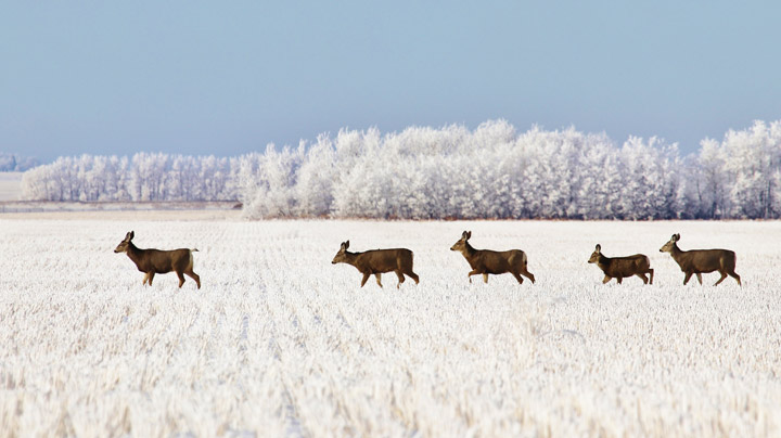
The Your Saskatchewan photo for Jan. 31 was taken near Vanscoy by Margaret Flack.
Saskatoon weather outlook is your source for Saskatoon’s most accurate forecast and is your one stop shop for all things weather for central and northern Saskatchewan with comprehensive, in depth analysis that you can only find here.
- ‘Alarming trend’ of more international students claiming asylum: minister
- Justin Trudeau headed to UN Summit of the Future amid international instability
- Canadian government’s satellite deal has Tories calling for Elon Musk involvement
- TD Bank moves to seize home of Russian-Canadian jailed for smuggling tech to Kremlin


Comments