

Arctic air will surge in soon with snow.

Saskatoon Forecast
Thursday
A bit of mist started the day in Saskatoon under cloudy skies, which acted like a blanket and helped keep conditions mild overnight with temperatures only dipping back into the minus teens.
By morning we warmed up -12 with wind chills pushing toward the -20s before we popped up toward minus single digits by midday.
The mercury shot up into minus single digits during the afternoon under cloudy skies.

Get daily National news
Friday
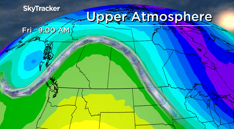
Saskatchewan has been spliced in half by a north south line dividing cold air in the east from warm air in the west, but that frontal boundary will finally start shifting toward Manitoba during the day.
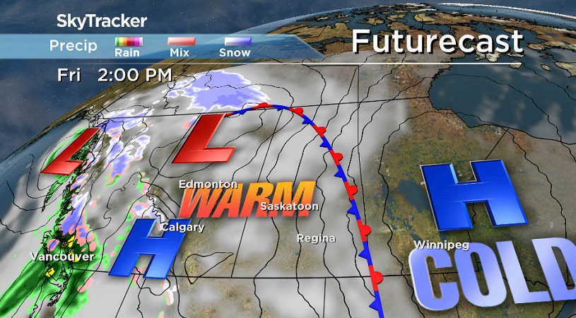
As such, areas north and east of the city will finally warm up and Saskatoon should see a daytime high back in mid-minus single digits under cloudy skies with breezy southeasterly winds and a slight chance of flurries after starting out the day with wind chills near -20.
Weekend
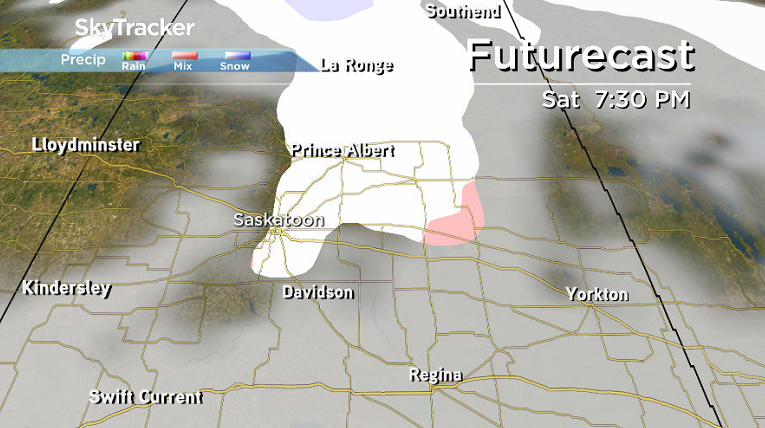
A system sliding into northern Saskatchewan on Saturday will slide us into even warmer air to start the weekend with a daytime high around -5 degrees or so and mostly cloudy skies during the day.
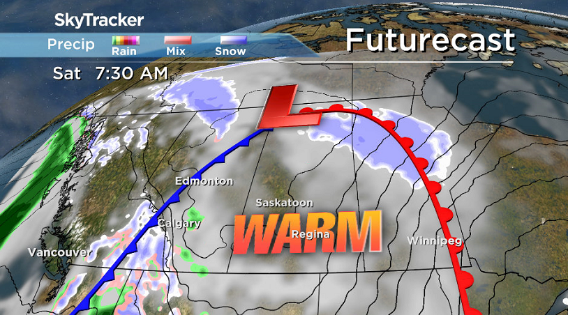
As that system swings through during there is a good chance of snow and a risk of some mixed precipitation as well Saturday evening into early Sunday morning.


It is expected to clear the region sooner than expected, which means Sunday should be sunnier than initially anticipated with afternoon temperatures into mid-minus single digits again.

Work Week Outlook
Cooler air does begin to move in, but it will also be a bit delayed as we await a system that’s now expected to slide through on Tuesday that could bring some accumulating snow.
After that though, the arctic air will be free to invade with daytime highs dropping back toward and potentially into the -20s.


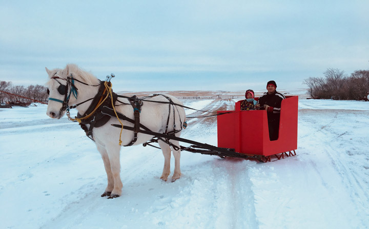
The Your Saskatchewan photo for Jan. 4 was taken by Suzanne Kaufmann near Ceylon:
Saskatoon weather outlook is your source for Saskatoon’s most accurate forecast and is your one stop shop for all things weather for central and northern Saskatchewan with comprehensive, in depth analysis that you can only find here.
Comments
Want to discuss? Please read our Commenting Policy first.