

A special weather statement remained in place Thursday evening as forecasters with Environment Canada called for a nasty combination of light snow and freezing drizzle to cap off the week.

The advisory covers London and Middlesex County, as well as most of southwestern Ontario.
Areas reaching as far north as Peterborough and as far south as Windsor are also under a statement.
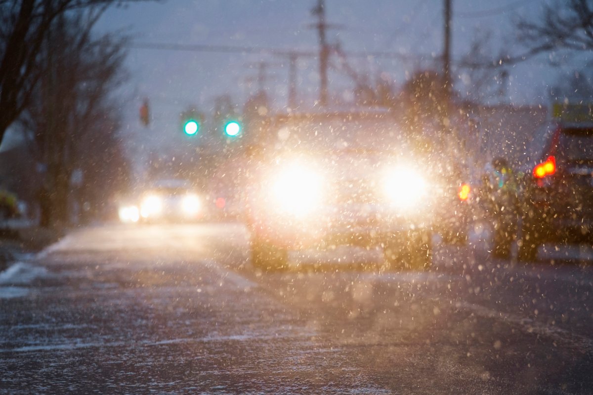
In the advisory, forecasters with the national weather service say a band of snow will arrive in the region early Thursday night, bringing varying amounts of snowfall to London and surrounding areas.
Areas north of the city, including in northern Lambton and Middlesex counties, and in Huron and Perth counties, could see snow amounting to around five centimetres of snow, while areas near Lake Erie and Lake St. Clair could see a light coating, according to the advisory.
A forecast issued Thursday afternoon for London said the city could receive somewhere between two to four centimetres.
The biggest concern, said Environment Canada’s Geoff Coulson, wasn’t so much the snow, but the freezing drizzle that could mix with it in the overnight hours.
Coulson said temperatures heading into the weekend would remain seasonal. Daytime highs on Saturday and Sunday should be around -1C and -2C, with cloudy conditions and a chance of flurries on both days.


“Things really start to turn cold on Monday — Christmas Day,” he said. “We’ve only got a forecast high on Christmas Day of -7C. The normal high for this time of year should be -1C.”
In addition, the cold northwest winds coming inland over the weekend from Lake Huron could bring lake effect or snow squall activity to London and Middlesex, he said.
“We may in fact see some snow squall watches and warnings being issued over the weekend, or Christmas Day itself.”
That colder air, Coulson says, will likely stick around until the end of the year, and could stay well into the first week of January, with daytime highs ranging anywhere from -6C to -9C, well below the normal highs for this time of year.
Comments