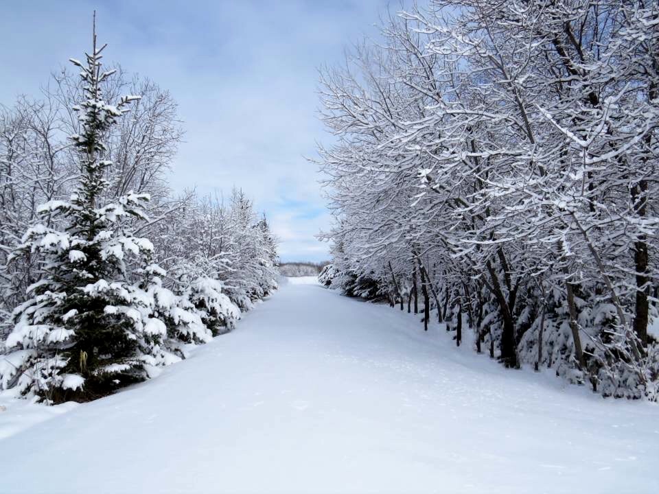
While it was a snowy start to the week with some school closures, that was the biggest snowfall we’ll have this week.

Winnipeg had around 5cm of snow overnight Sunday into Monday. There will be another system heading into the eastern prairies Tuesday that will likely bring another 5cm but that is expected to land primarily East of Winnipeg, closer to Kenora. Winnipeg could see a few flurries from this system but no significant snowfall.

Get breaking National news
Generally, this week looks like a cloudy one with the chance of some flurry activity as temperatures warm up into Wednesday. Overall, Winnipeg will likely see a few flurries but accumulations through the week look small and very spread out. Weather models are predicting between 2-3cm total for Winnipeg over the course of the week.
There will likely be more snow headed for southern Manitoba but it appears more likely to arrive on the weekend. It’s far away but at this point, around 5cm looks possible again.
https://twitter.com/MikeKoncan/status/940278430209380361
- ‘Alarming trend’ of more international students claiming asylum: minister
- Justin Trudeau headed to UN Summit of the Future amid international instability
- Canadian government’s satellite deal has Tories calling for Elon Musk involvement
- Activists call for Boogie the monkey to be removed from Ontario roadside zoo


Comments