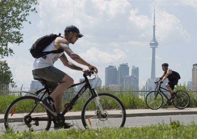
A new study says Toronto leads the way for walkability among southern Ontario communities, with its accessibility for walking, cycling and taking transit accompanied by lower rates of obesity and diabetes than the more car-focused suburbs.

The study, published Tuesday in the Journal of the American Medical Association, examined nearly 9,000 neighbourhoods in southern Ontario over 12 years.
It found that more walkable areas had obesity and diabetes rates 10 percentage points less than communities centred more on driving — a significant gap. Over the surveyed years the rates got better in highly walkable neighbourhoods, but didn’t significantly change in low-walkability ones.
Co-author Dr. Gillian Booth with St. Michael’s Hospital said that while Toronto was tops, followed by Hamilton, the other GTHA municipalities had a sharply lower percentage of neighbourhoods on the high walkability scale. Ottawa also ranked well, while London did not.
“The prewar neighbourhoods are the ones that are the most walkable,” she said in an interview.

Get weekly health news
“How our forefathers were building cities… that way of designing neighbourhoods around pedestrian activity has better outcomes in terms of health.”
Booth said that while cities can’t be entirely rebuilt, improvements can be made by building out transit, adding bike infrastructure and expanding sidewalks and walking paths can help.
“It’s about lessening the dependency on cars,” Booth said.
“The way we have been is not going to reverse the trend in obesity and diabetes. We need to rethink how we’re moving forward.”
An analysis of walkable neighbourhoods done by another researcher involved with the study revealed some of the best and worst offenders for pedestrian access.
HIGH WALKABILITY
LOW WALKABILITY
- What is Nipah virus? What to know about the disease as India faces outbreak
- Head-Smashed-In Buffalo Jump heritage site enjoys boost after shout out on ‘The Pitt’
- Pizza Pops contaminated with E. coli tied to 7 hospitalizations, data shows
- Pizza Pops E. coli recall grows as roughly a dozen products now hit


Comments