
WINNIPEG — Remember that weather we had a week ago? 35 Celsius in Winnipeg and records falling across southern Manitoba? That day feels long gone now with mother nature dealing us a dose of “spring weather reality” here in Manitoba.

Thursday’s weather will remain windy and cool with precipitation off and on through the day in the form of drizzle as low pressure over southern Manitoba slowly makes it’s way into northwestern Ontario.
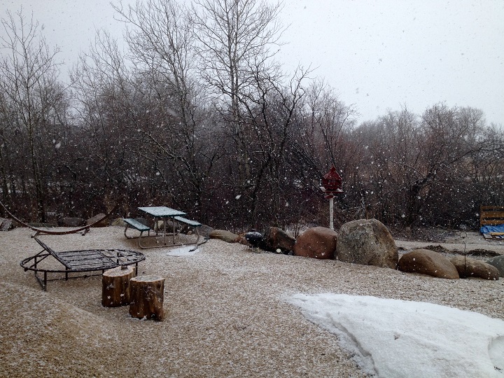
Thursday night the chance of seeing some flurries grows as our temperature drops below 0 C.
Friday won’t be much better.
Periods of light snow is in the forecast from Environment Canada and again winds will be whipping up out of the north gusting to 60 kilometres an hour.
Temperatures will remain in the single digits until we get to Saturday when the sun will once again return with a high of 10 C.
Sunday we finally rebound as we almost hit seasonal with a high of 17 C.
The good news is the wet weather is welcome to many across the province. As we get into next week our temperatures look much warmer – reaching the 20 degree range by midweek.


- How caregiving impacts a generation of Canadians: ‘Unpaid work does not end’
- Fall COVID-19 vaccine guidelines are out. Here’s what NACI recommends
- Some 2019 candidates ‘appeared willing’ to engage with foreign interference: Hogue inquiry
- Thousands of Canada’s rail workers have a strike mandate. What happens now?
Comments