
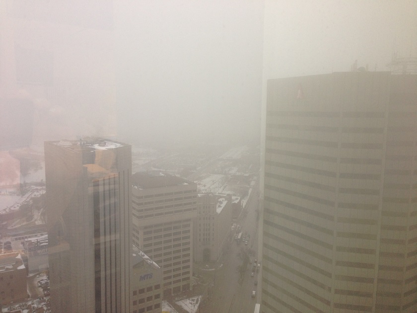
WINNIPEG — Spring-like weather greeted Manitobans Friday morning, and along with it, plenty of fog.

Fog advisories were still in place in the morning and expected to last until the noon hour.
Light drizzle began falling around 11 p.m. Thursday night and continued all morning, producing very slippery conditions inside and outside the city, not to mention sidewalks and side streets.
Through Friday we’ll likely see a whole mix of precipitation, such as flurries, showers, drizzle and even the possibility of freezing drizzle.
All in all, not a great day for travel on the highways.
Friday night the winds will pick up and shift bringing us gusty winds out of the northwest between 30 and 50 kilometres an hour.
Along with that, a moderate chance of either showers or flurries.
The mild weather takes a hiatus once we get into Saturday unfortunately.
A slight chance of flurries through the day and a high of -8 C (which is normal for this time in February).
Overnight below normal temperatures sink in with a low of -20 C.


The sun returns in full force for Sunday with a cool high of -11 C with the temperature holding steady through the night.
As we get into next week we are back to slightly above normal daytime highs.
February 19, 2015 we were still stuck in the middle of a brutal cold snap and our overnight low was -30.3 C.
Suffice to say, the middle of February in this our El Nino year is treating us a lot better.
- Suspect in killing of temple leader Hardeep Singh Nijjar got student visa in ‘days’
- ‘Summer of discontent’ coming over public service in-office order: unions
- Panera to remove ‘Charged Sips’ drink from Canada amid wrongful death lawsuits
- Minister Boissonnault to testify before ethics committee over ties to lobbyist, PPE company
Comments