
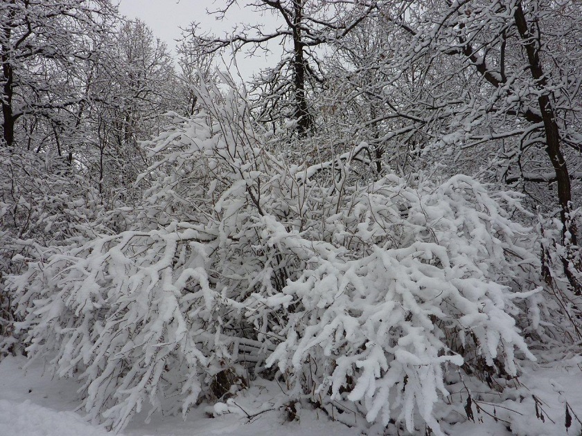
WINNIPEG — Our city along with parts of southern Manitoba saw its first major snowfall of the season.

And yes, it’s not even officially winter yet.
READ MORE: Slick roads cause treacherous morning commute for Manitobans
A Colorado Low that moved through Minnesota and the Dakota’s Wednesday left many Manitobans with plenty of shoveling to do.
The snow began in the very early morning hours of Wednesday (around 3 a.m. here in Winnipeg) and picked up speed through the morning with heavier snow falling.
RELATED: Man in critical after crash with school bus on Perimeter Highway
As we hit the lunch hour between five and eight centimetres had fallen in many locations in the south.
In the afternoon, temperatures dropped resulting in “fluffier” snow that accumulated quite quickly. Some areas saw snow falling at a rate of 2.5 cm per hour.
Central and eastern Red River Valley were hit hardest, along with areas northeast through Winnipeg and towards the south basin of Lake Winnipeg.


Here’s a list of snowfall totals as of 9 a.m. on Thursday from Environment Canada.
- Ste. Anne: 25 cm
- Winnipeg: 15-22 cm
- Steinbach, Miami: 20 cm
- Pinawa, Morris, Oakbank, Arborg: 19 cm
- Rosser: 8 cm
- Portage, Stony Mountain: 14 cm
- Woodlands, Great Falls: 12 cm
- Rennie: 11 cm
- Ashern: 10 cm
- Brandon: 3 cm
- Shoal Lake: 2 cm
- Neepawa: 1 cm
Winds will stay strong out of the northwest through most of Thursday and into the evening.
As we head into the weekend, daytime highs are into the minus double digits with an overnight low forecast for -20 C on Friday night.
We’ll still see a chance of flurries over the next few days but no more major snow events, for now.
- RCMP arrests alleged hitmen accused of killing B.C. Sikh leader
- Fall COVID-19 vaccine guidelines are out. Here’s what NACI recommends
- Some 2019 candidates ‘appeared willing’ to engage with foreign interference: Hogue inquiry
- Thousands of Canada’s rail workers have a strike mandate. What happens now?
Comments