
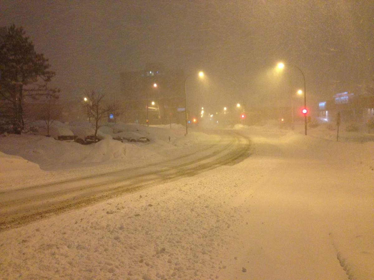
TORONTO – This has been the picture across the Maritimes and Atlantic Canada since the end of January.


Since then, the region seems to have been hit by storm after storm.
“I believe the first storm system to track across the area was around January 20, and since then it’s almost been non-stop with several significant storms,” said Claude Côté, warning preparedness meteorologist with Environment Canada in New Brunswick. “There were nor’easters, bombs, a couple of blizzards also. So we’ve really been impacted by significant weather in the past two months.”

Get daily National news
So, how much snow have they actually received?
Surprisingly, though Halifax has been in the spotlight this past week, the city isn’t close to breaking its record.
As of March 19, Halifax airport reported 292 cm since snow started falling in November. But the city is far from its record winter, set in 1971 with 475 cm.
In Moncton, N.B., the city had received 462 cm as of March 19, coming very close to its record of 511, also set in 1971.
- Cervical cancer death risk drops near zero for young women after HPV shot
- Flood warnings for Toronto lift after more than 70 mm of rain falls in some areas
- Officials urge Calgarians to play it safe on the water this summer
- Cleanup underway after ‘nasty’ Alberta storm topples trees, damages roofs and buildings


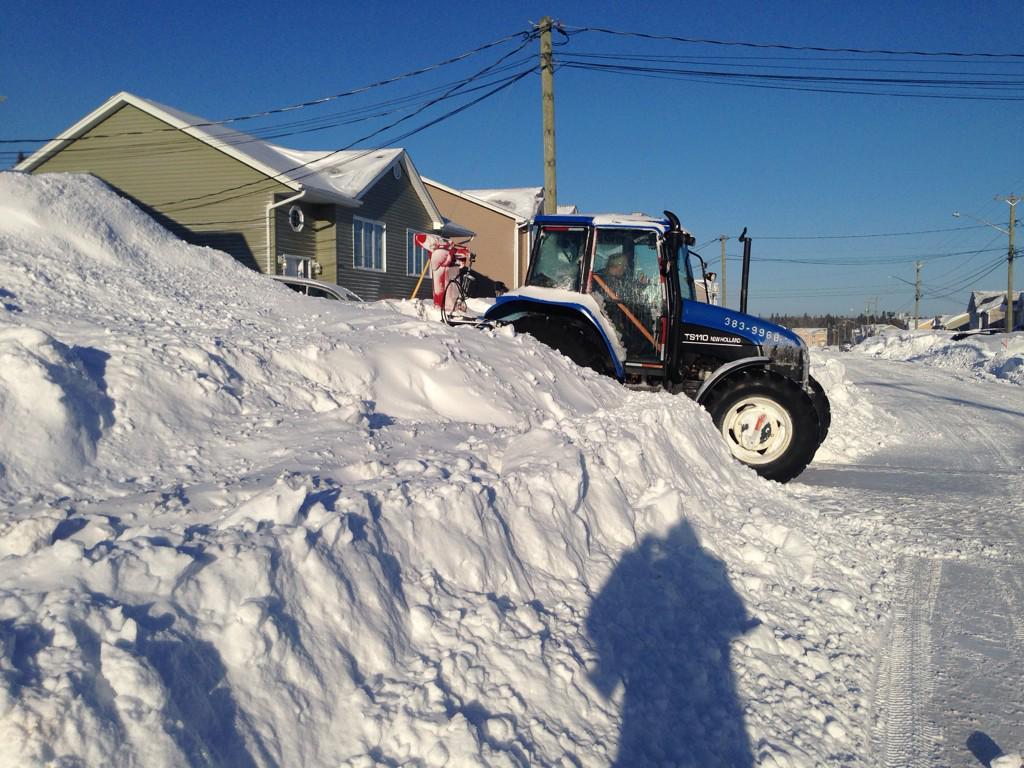
But in Saint John, N.B., the city did break its record of 427 cm set in 1963, coming in at 477 cm.
And though it might be spring, the wintry weather seems to persist.
READ MORE: More storms coming to Halifax as the calendar turns to spring
Though temperatures will hover near the freezing mark, there will be mixed precipitation across Nova Scotia, parts of Prince Edward Island and southern New Brunswick.
And unfortunately, Côté said, the colder-than-normal weather is expected to continue into April.
But at least there’s summer, right?
Comments
Want to discuss? Please read our Commenting Policy first.