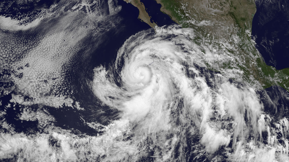
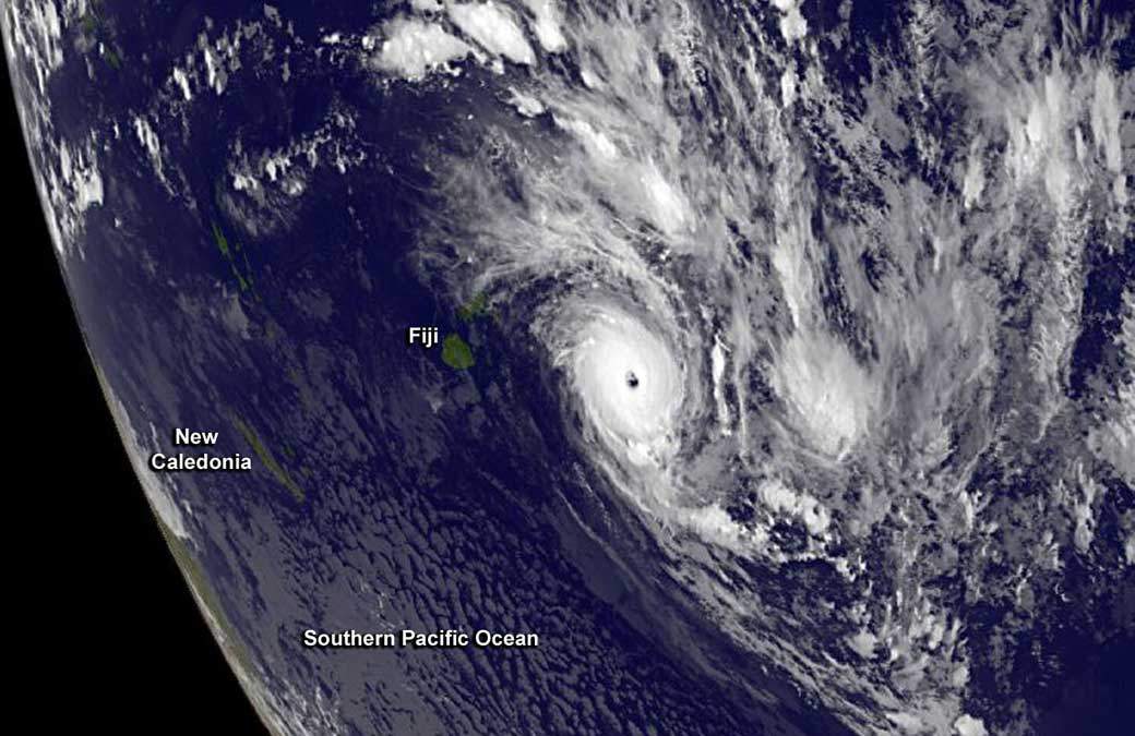
WASHINGTON – Tropical cyclones worldwide are moving out of the tropics and more toward the poles and generally larger populations, likely because of global warming, a surprising new study finds. Atlantic hurricanes, however, don’t follow this trend.

READ MORE: Why Super Typhoon Haiyan was so destructive
While other studies have looked at the strength and frequency of the storms, which are called hurricanes in North America, this is the first study that looks at where they are geographically when they peak. It found in the last 30 years, tropical cyclones, regardless of their size, are peaking 53 kilometres farther north each decade in the Northern Hemisphere and 61 kilometres farther south each decade in the Southern Hemisphere.
That means about 160 kilometres toward the more populous mid-latitudes since 1982, the starting date for the study released Wednesday by the journal Nature.
“The storms en masse are migrating out of the tropics,” said study lead author James Kossin of the National Climatic Data Center and the University of Wisconsin. Kossin used historical tracks of storms in the Western Pacific, Eastern Pacific, North Indian Ocean, South Indian Ocean, South Pacific and the Atlantic.
That means more people at risk, especially in the Northern Hemisphere, because “you’re going to hit more population areas,” said Yale University historian and cartographer Bill Rankin, who wasn’t part of the study.

Get breaking National news
In the region where Japan tracks cyclones, they are peaking 68 kilometres farther north each decade. That means cyclones that used to hit their strongest around the same latitude as the northern Philippines are now peaking closer to Hong Kong, Taiwan, Shanghai, Japan and South Korea, Kossin said. There are about 60 million people in Taiwan, Hong Kong, Shanghai and Tokyo alone.
The trend, however, is not statistically significant in the Atlantic basin, where storms threaten the U.S. East Coast. In the Atlantic region, the study has seen a northward drift of storms of only 4 miles a decade, which just could be random.
Kossin said the Atlantic region is different because of changes in pollution over the United States and other factors.
Kossin and colleagues say the changes start with man-made global warming, which alters air circulation from the tropics to just farther north and south. In the tropics, those changes increase upper atmosphere wind shifts called shear that weaken cyclone development. At higher latitudes the changes decrease the storm-decapitating shear, making those areas more favourable for storm intensification.
READ MORE: Atlantic hurricane forecast a dud? Maybe not
“The tropics are becoming less hospitable” for these storms, Kossin said. “The higher latitudes are becoming less hostile.”
Past storm studies have been criticized because data doesn’t go back many years. But Kossin, his colleagues and outside scientists say by looking at where geographically storms hit their peak this study avoids problems with haphazard measurements and thus can make a stronger connection to climate change.
“This is an important, very well researched paper that uncovers something that was unknown previously,” said hurricane researcher Chris Landsea, science officer at the National Hurricane Center. Florida International University hurricane professor Hugh Willoughby called this the strongest tropical cyclone and global warming link yet.


Comments
Want to discuss? Please read our Commenting Policy first.